| New Geology |
|
|
 |
 |
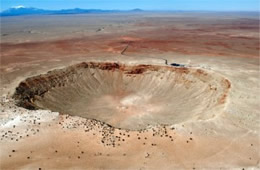 |
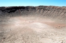
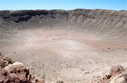
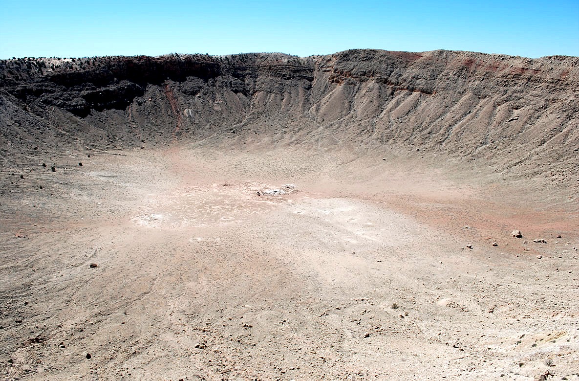
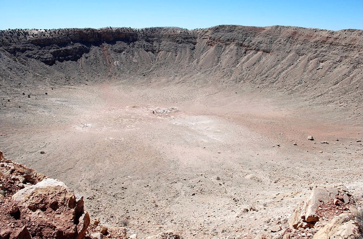
| meteor crater, barringer crater, canyon diablo meteorite impact crater, arizona |
meteor crater, barringer crater, canyon diablo meteorite impact crater, arizona |
meteor crater, barringer crater, canyon diablo meteorite impact crater, arizona |
 |
 |
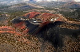 |
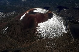
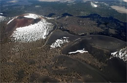
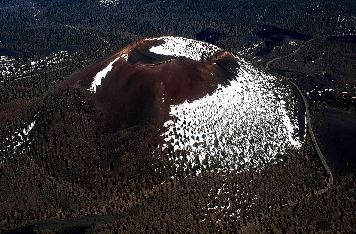
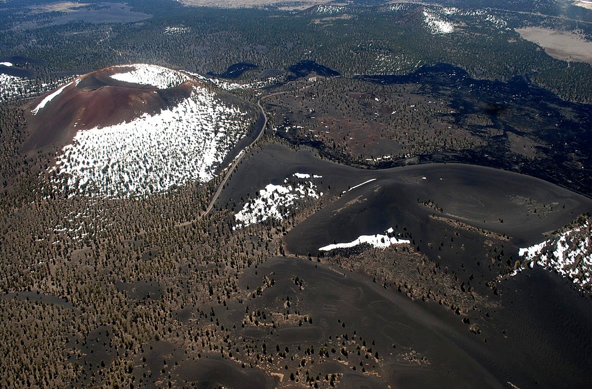
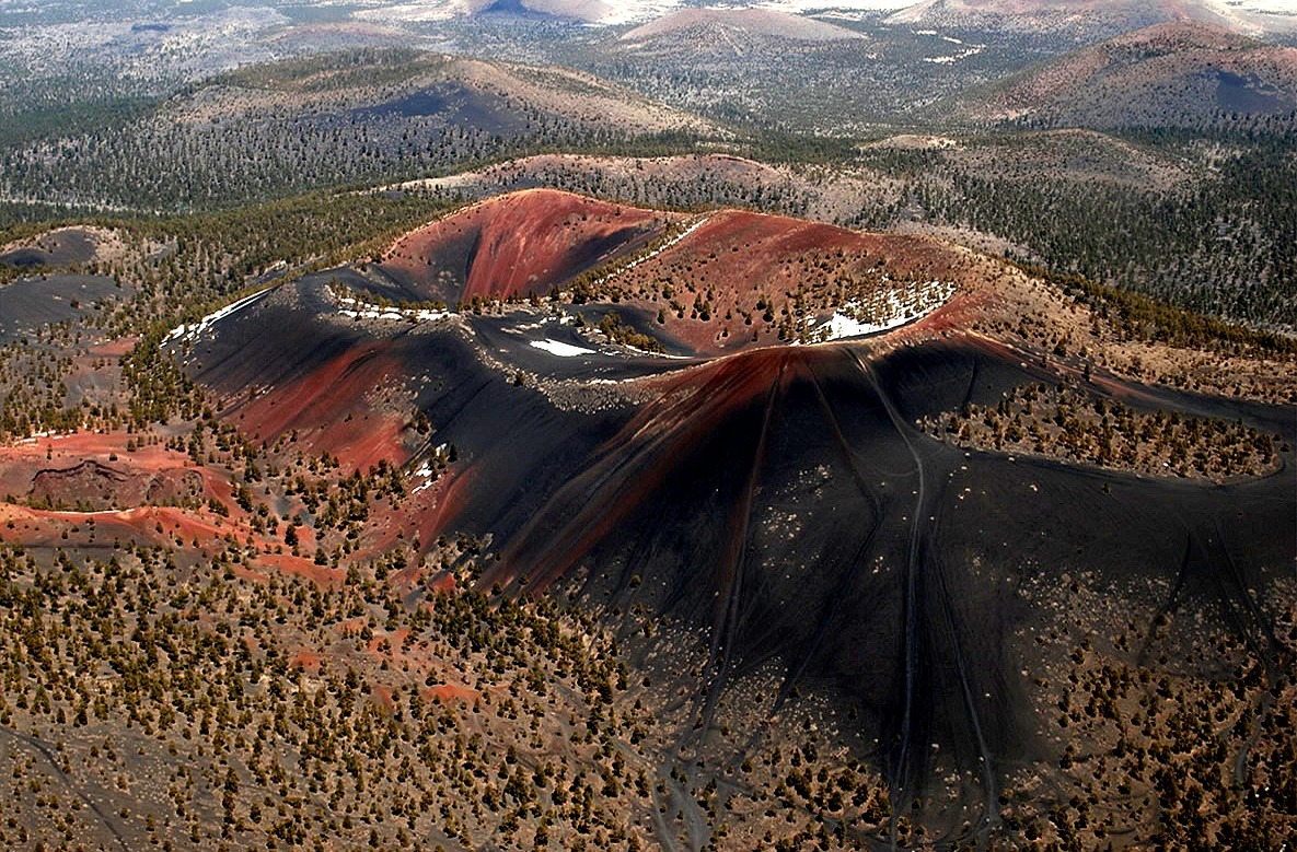
| sunset crater volcano national monument, lava flows, volcanic cinders, cone, aerial photograph, arizona |
sunset crater volcano national monument, lava flows, volcanic cinders, cone, aerial photograph, arizona |
volcanic crater, sunset crater volcano national monument, lava flows, volcanic cinders, cone, aerial photograph, arizona |
 |
 |
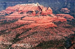 |
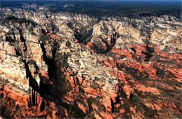
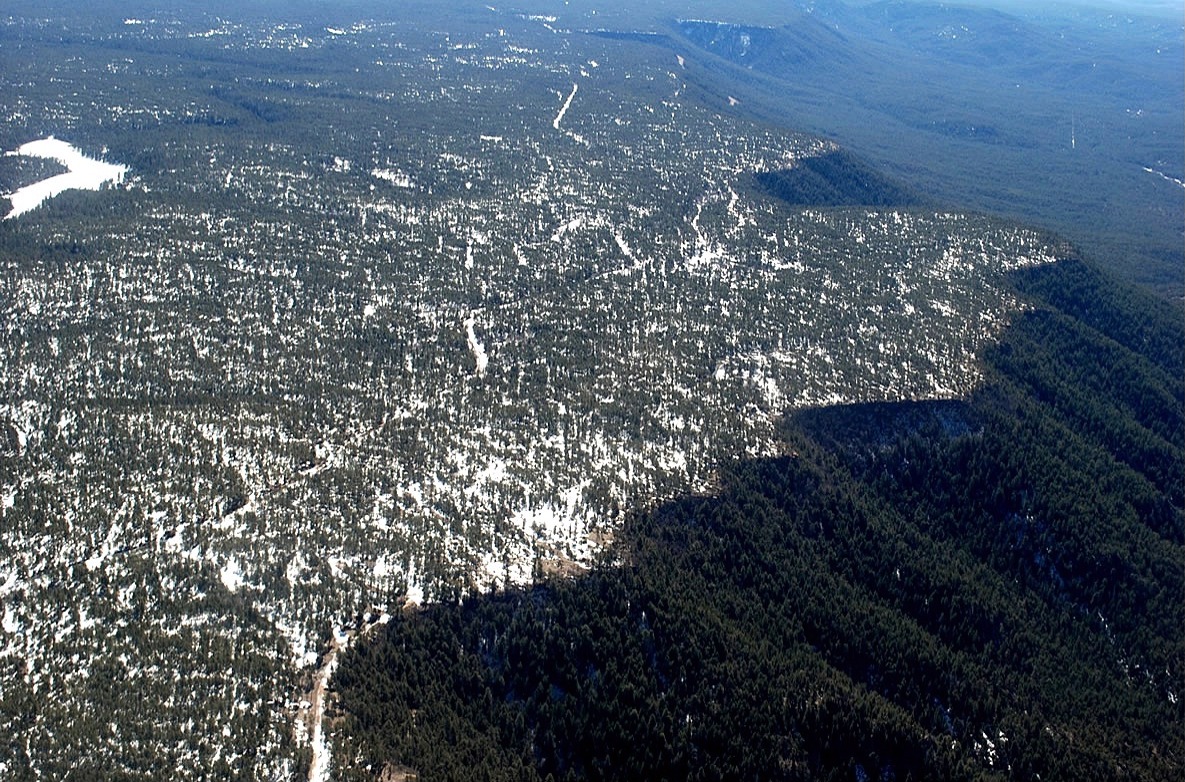
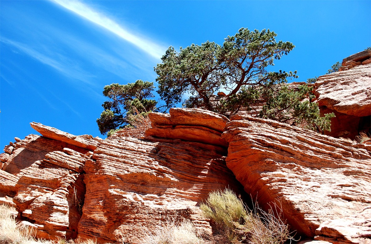
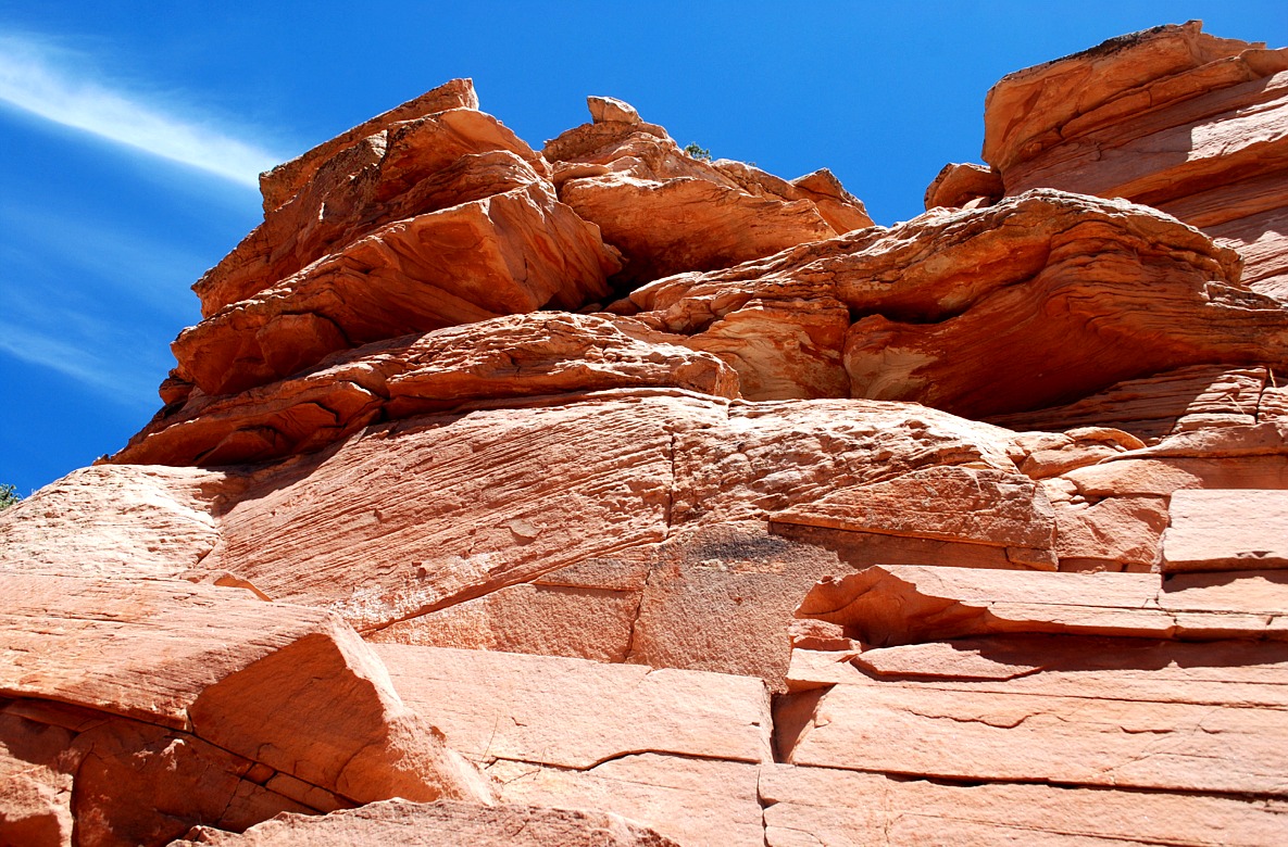
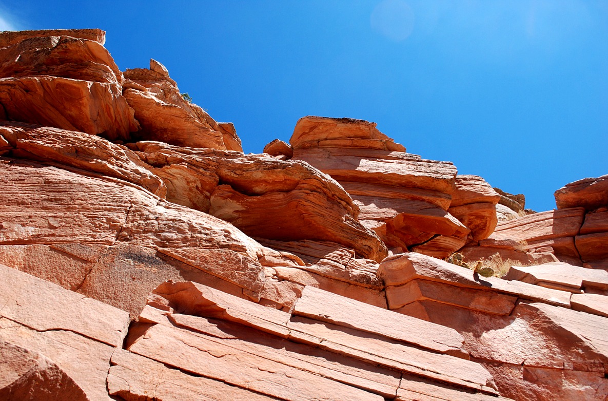
| mogollon rim, escarpment, colorado plateau, aerial photograph, arizona |
mogollon rim at sedona, escarpment, colorado plateau, aerial photograph, arizona |
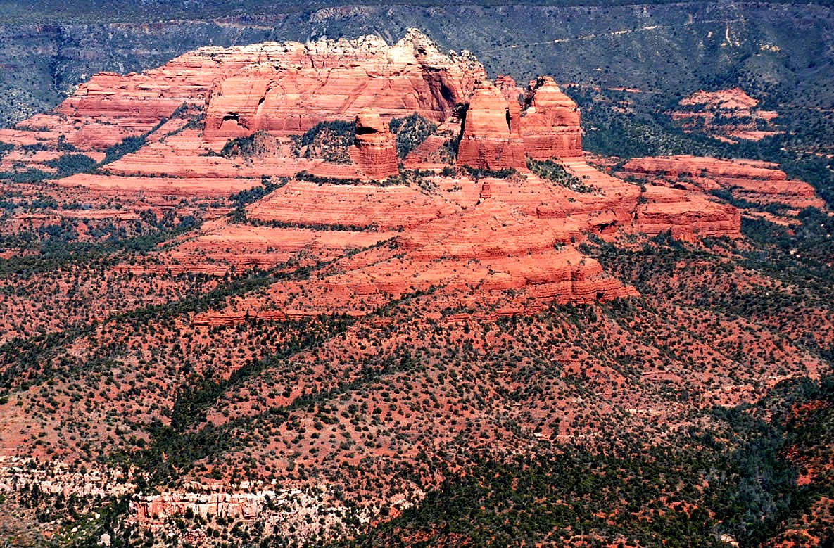
sedona red rock, paleozoic sedimentary rock layers, aerial photograph, arizona |
 |
 |
 |
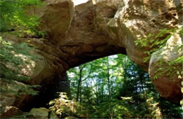
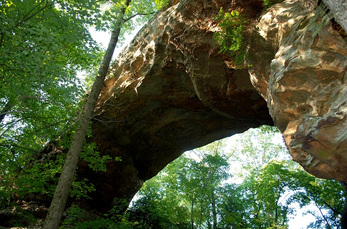
| north twin arch, sandstone arch, cumberland plateau tableland, erosion, big south fork national river, tennessee |
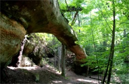
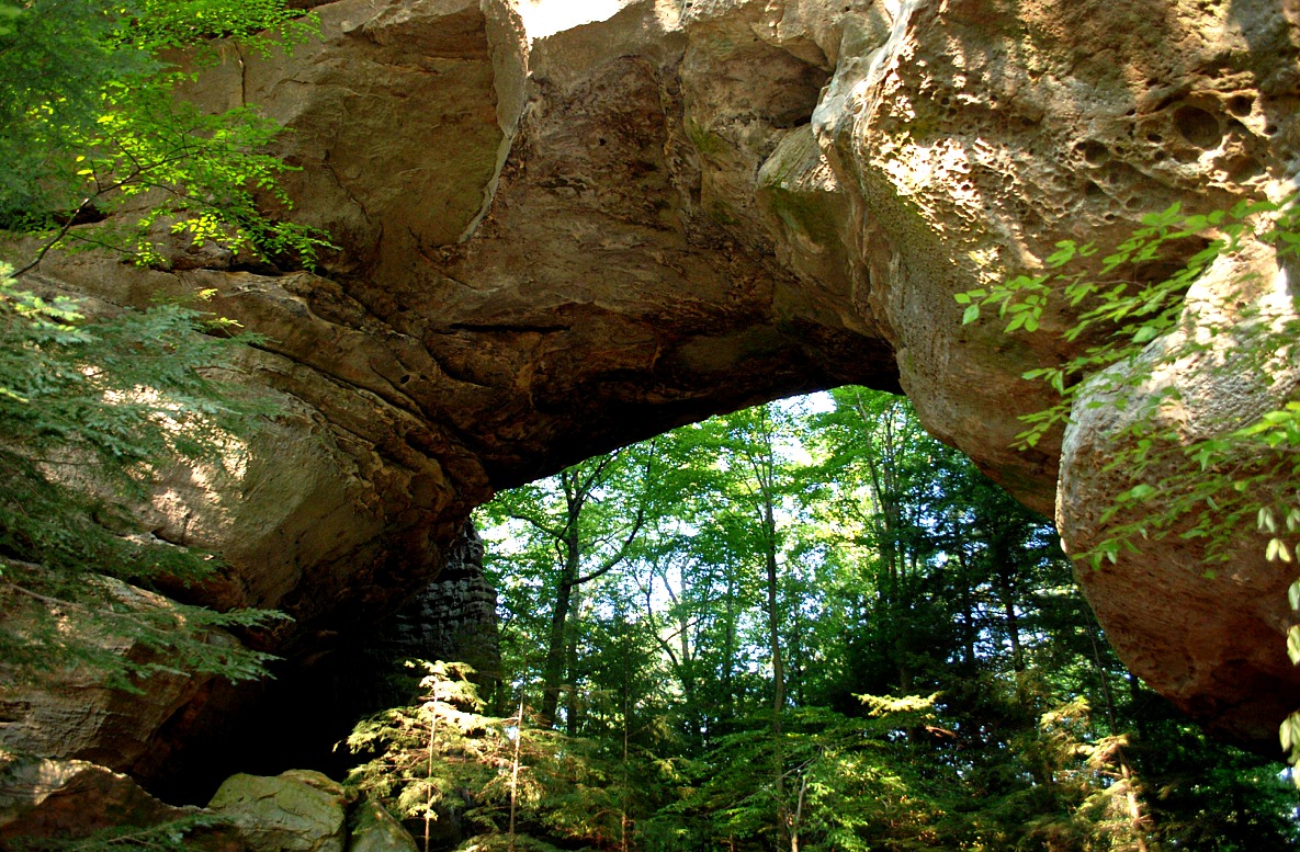
south twin arch, sandstone arch, cumberland plateau tableland, erosion, big south fork national river, tennessee |
needle arch, sandstone arch, cumberland plateau tableland, erosion, big south fork national river, tennessee |
 |
 |
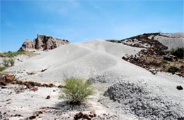 |
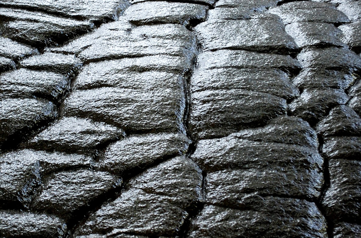
| castolon volcanic badlands, ash, igneous rock, big bend national park, texas |
castolon volcanic badlands, ash, igneous rock, big bend national park, texas |
castolon volcanic badlands, ash, igneous rock, big bend national park, texas |
 |
 |
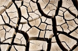 |
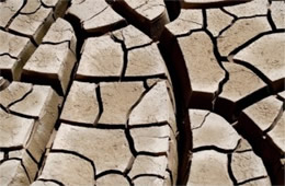
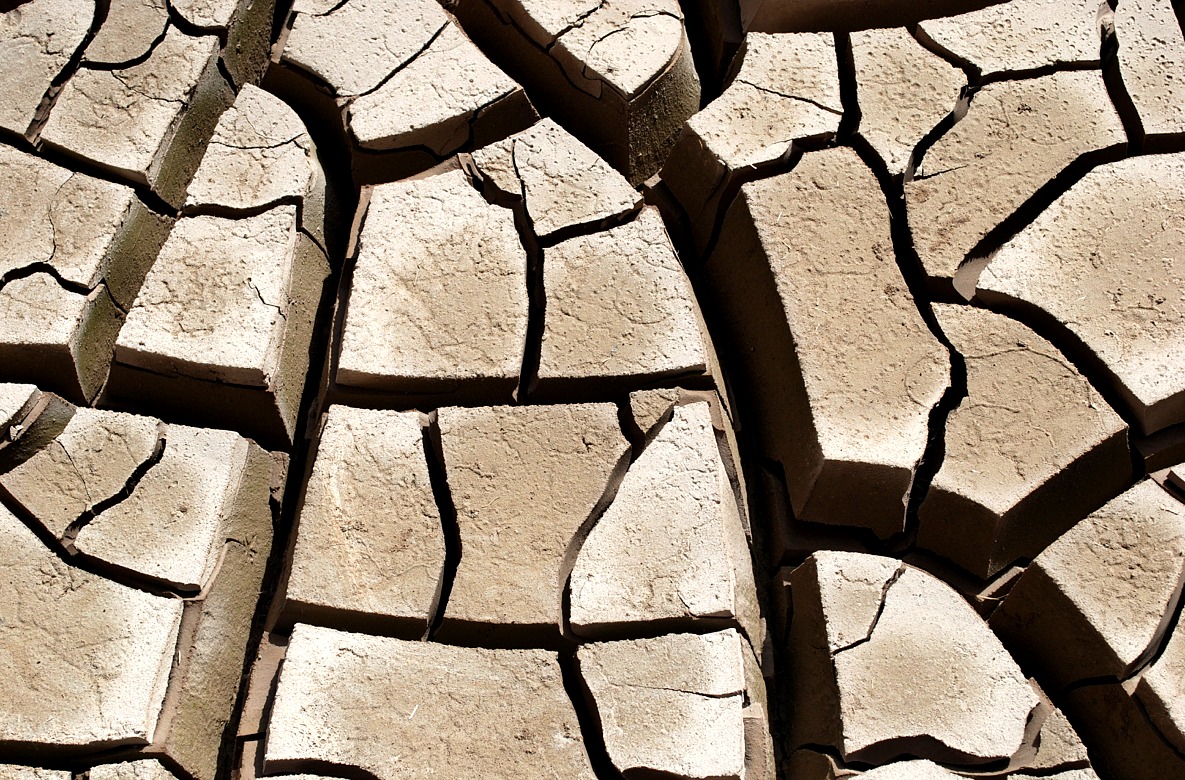
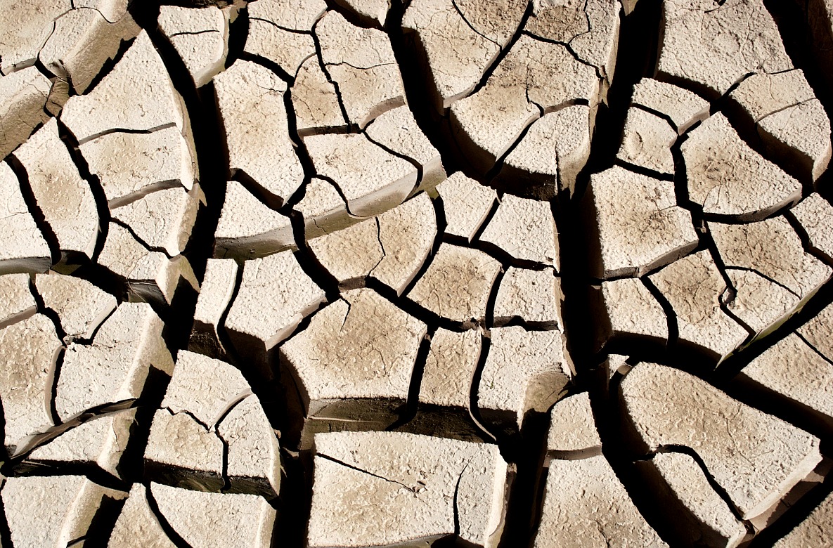
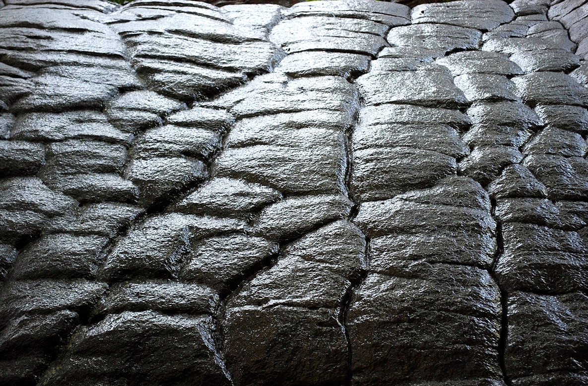
| cracked dry river sediment, drought, rio grande, big bend national park, texas |
cracked dry river sediment, drought, rio grande, big bend national park, texas |
cracked dry river sediment, drought, rio grande, big bend national park, texas |
 |
 |
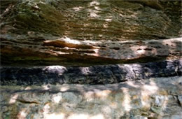 |
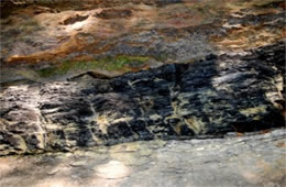
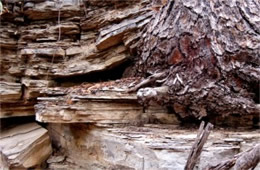
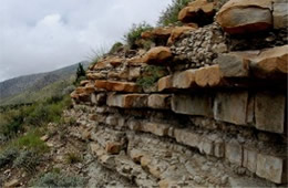
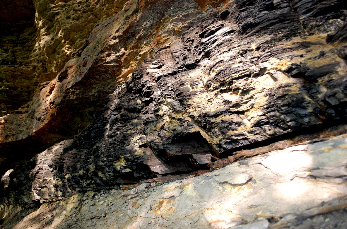
| exposed coal vein, cumberland plateau, big south fork national river, tennessee |
exposed coal vein, cumberland plateau, big south fork national river, tennessee |
exposed coal vein, cumberland plateau, big south fork national river, tennessee |
 |
 |
 |
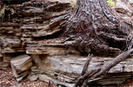
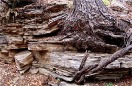
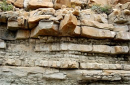
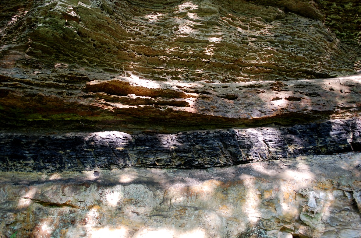
| wet eroded sandstone, cumberland plateau, big south fork national river, tennessee |
wet eroded sandstone, cumberland plateau, big south fork national river, tennessee |
wet eroded sandstone, cumberland plateau, big south fork national river, tennessee |
|
|
|
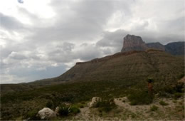
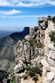
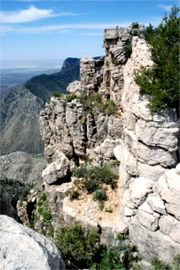
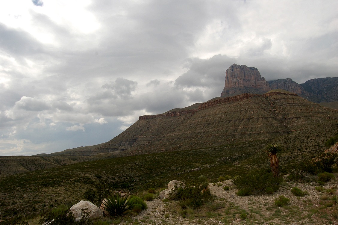
hunter peak, cliff, bear canyon, guadalupe mountains national park, texas |
hunter peak, cliff, bear canyon, guadalupe mountains national park, texas |
|
| Geology |
|
|
|
 |
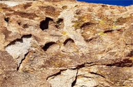 |
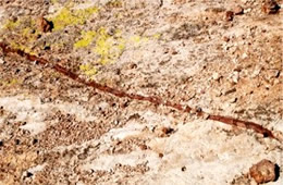
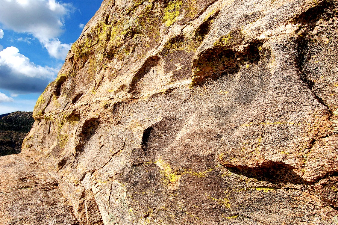
| rock weathering, lichens, ridge top exposed to strong wind and rain, coronado national forest |
rock weathering, lichens, ridge top exposed to strong wind and rain, coronado national forest |
rock weathering, lichens, ridge top exposed to strong wind and rain, coronado national forest |
 |
 |
 |
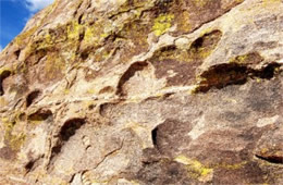
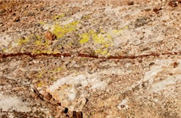
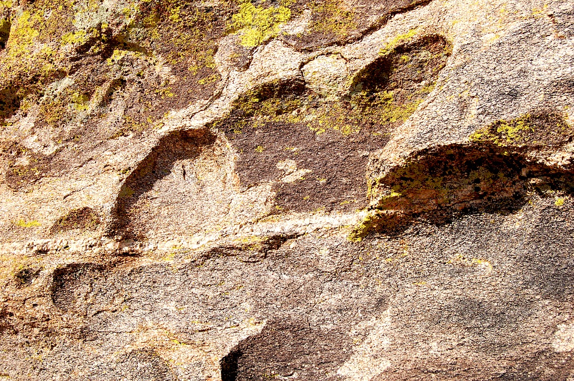
| rock weathering, lichens, ridge top exposed to strong wind and rain, coronado national forest |
rock weathering, lichens, ridge top exposed to strong wind and rain, coronado national forest |
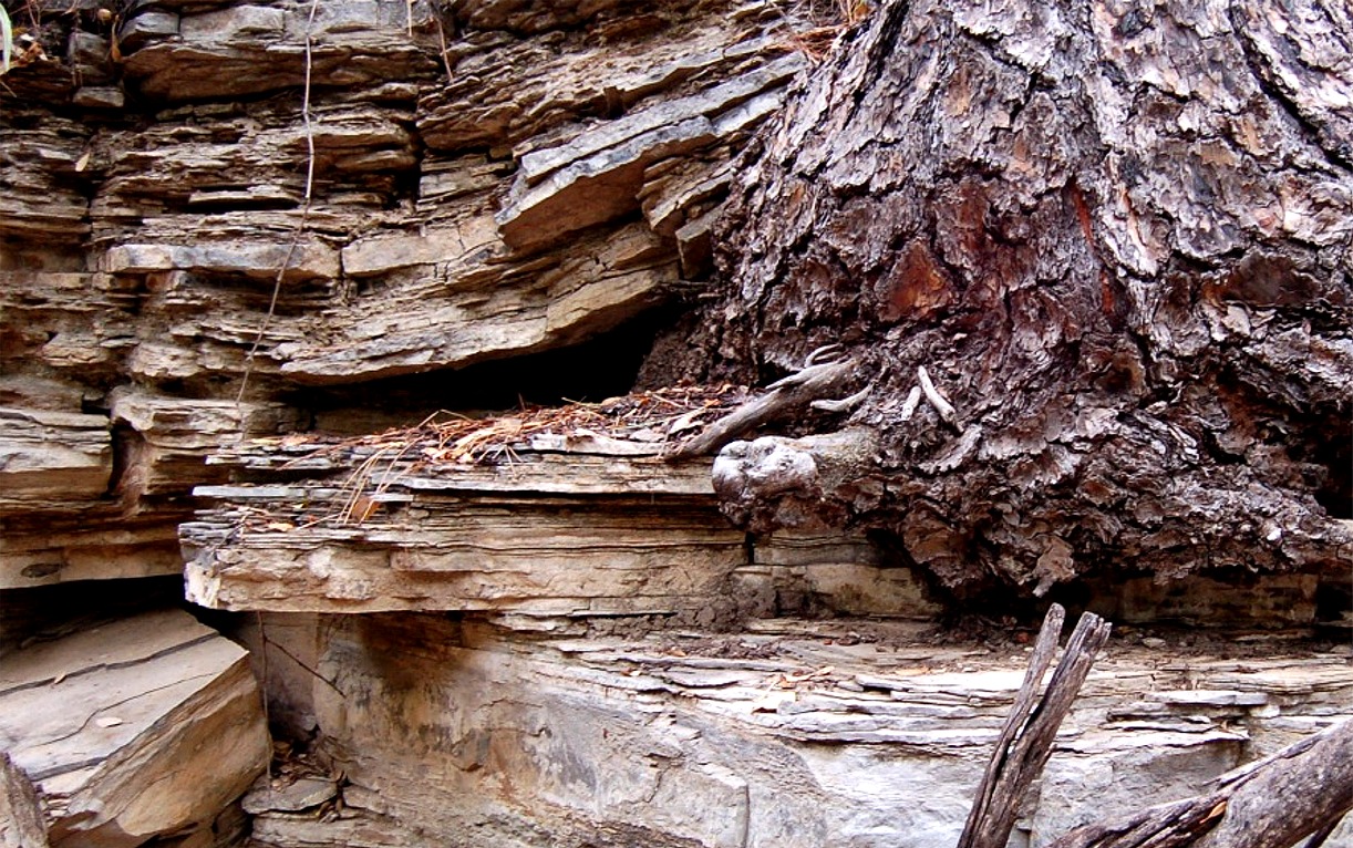
root wedging, weathering, layered sedimentary rock, guadalupe mountains |
 |
 |
 |
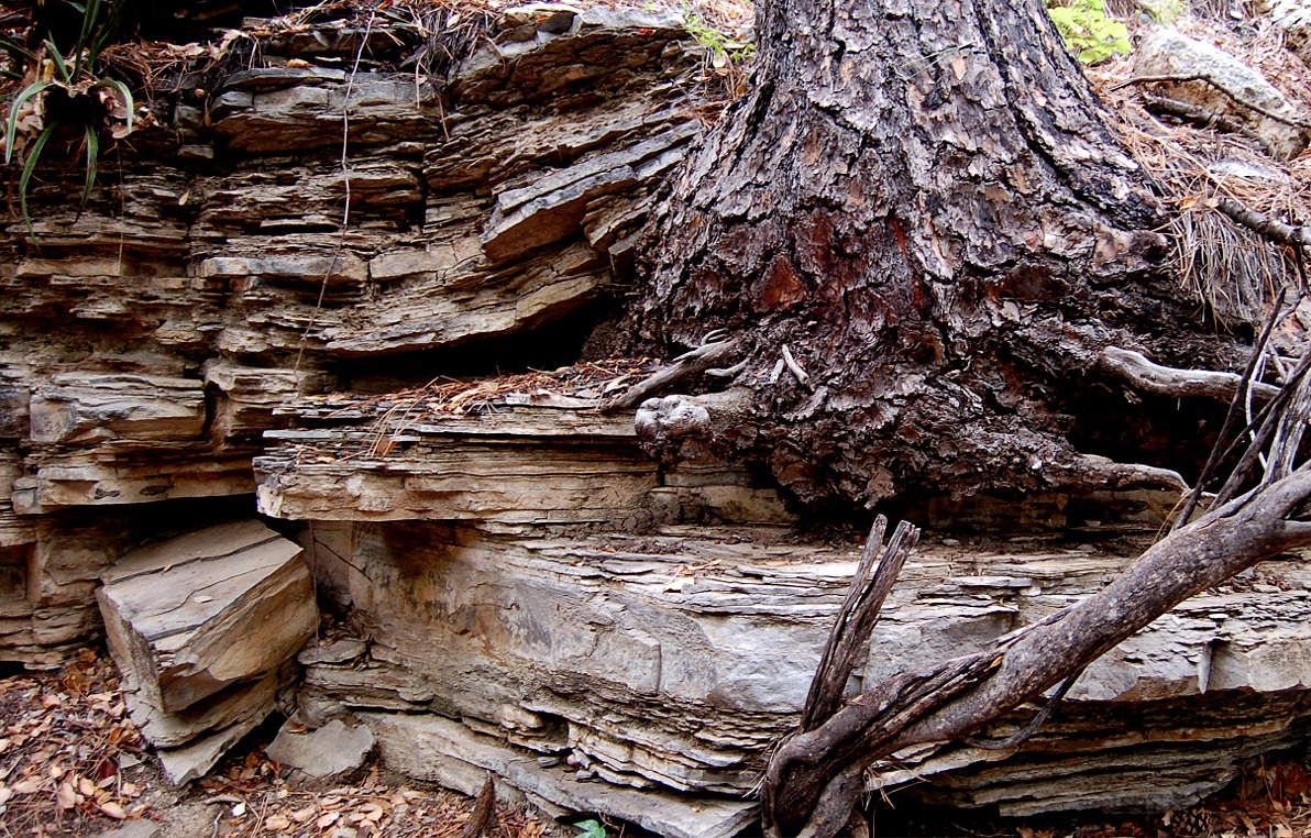
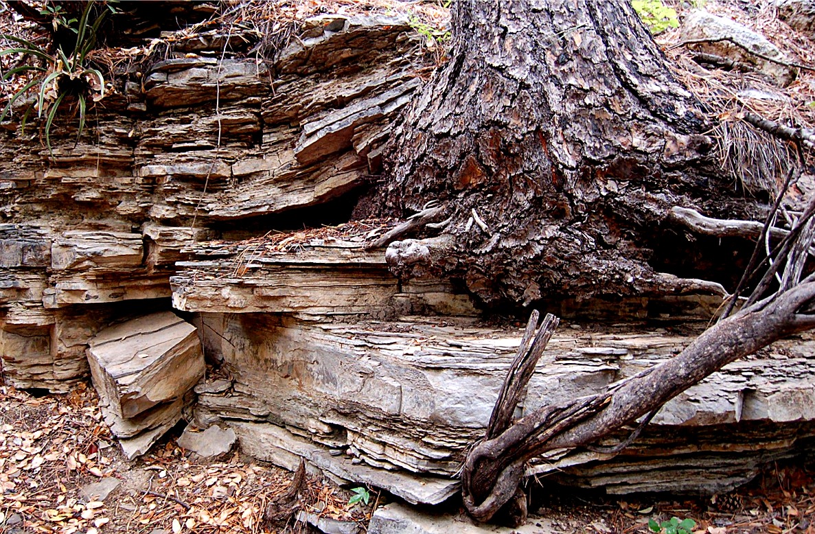
| root wedging, weathering, layered sedimentary rock, guadalupe mountains |
root wedging, weathering, layered sedimentary rock, guadalupe mountains |
layered sedimentary rock, guadalupe mountains, permian limestone fossil reef |
 |
 |
 |
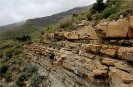
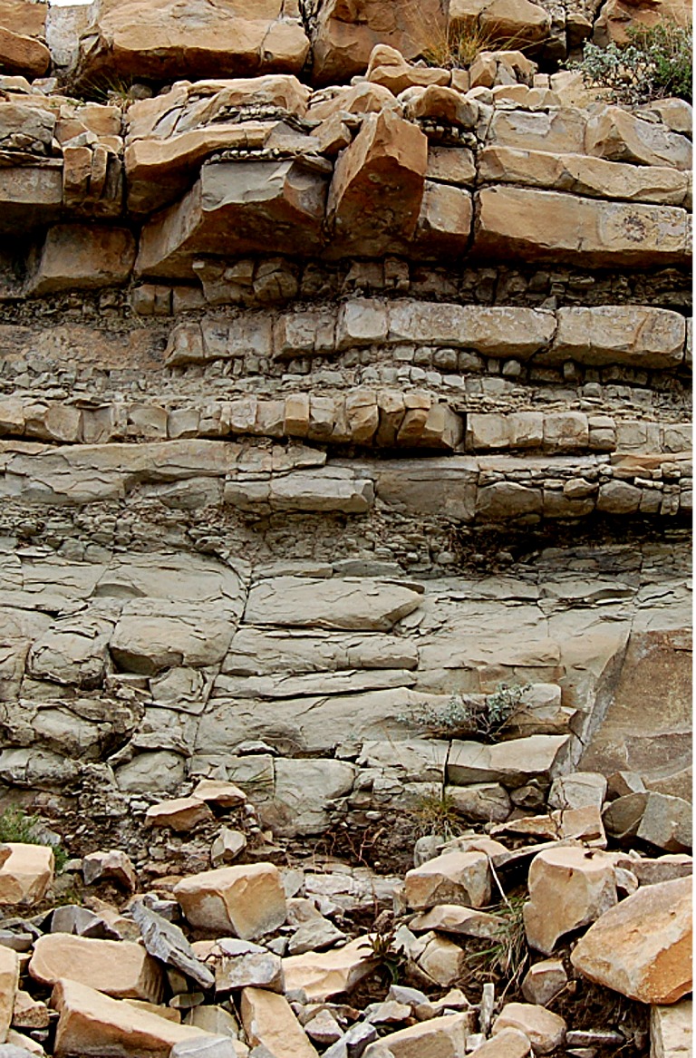
| layered sedimentary rock, guadalupe mountains, permian limestone fossil reef |
layered sedimentary rock, guadalupe mountains, permian limestone fossil reef |
layered sedimentary rock, guadalupe mountains, permian limestone fossil reef |
|
|
|
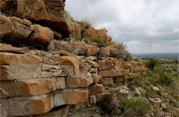
layered sedimentary rock, guadalupe mountains, permian limestone fossil reef |
layered sedimentary rock, guadalupe mountains, permian limestone fossil reef |
layered sedimentary rock, guadalupe mountains, permian limestone fossil reef |
|
|
|
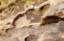
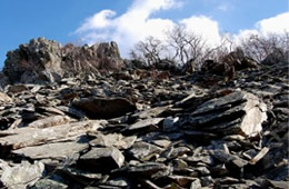
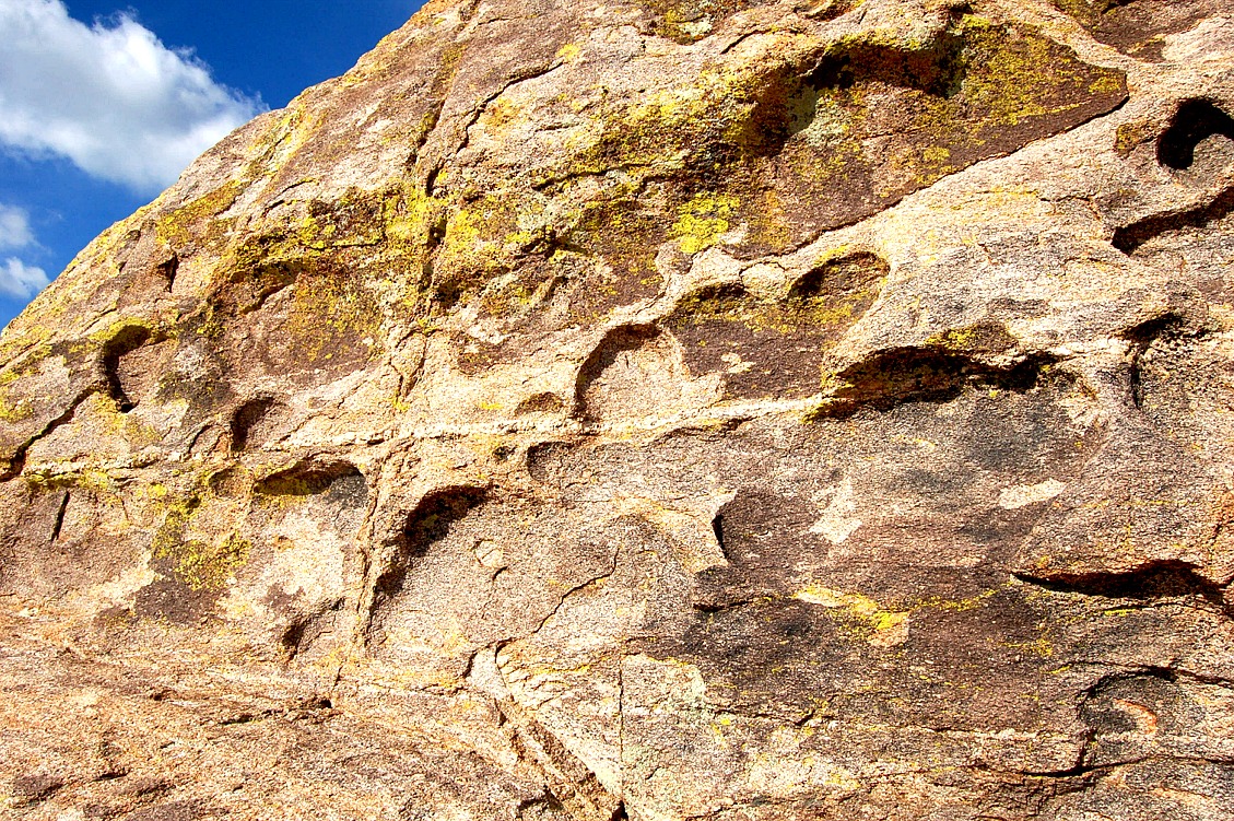
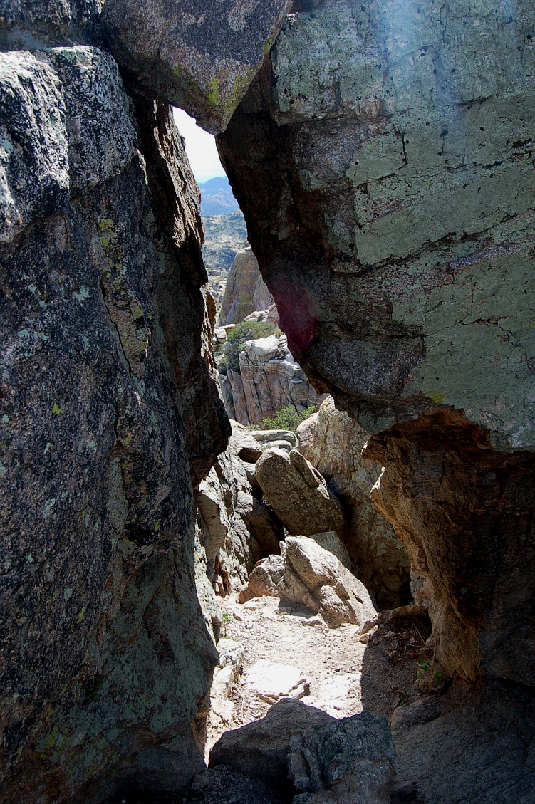
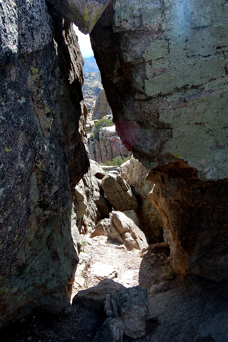
rock crevasse, weathering, coronado national forest |
rock crevasse, weathering, coronado national forest |
rock crevasse, weathering, coronado national forest |
|
|
|
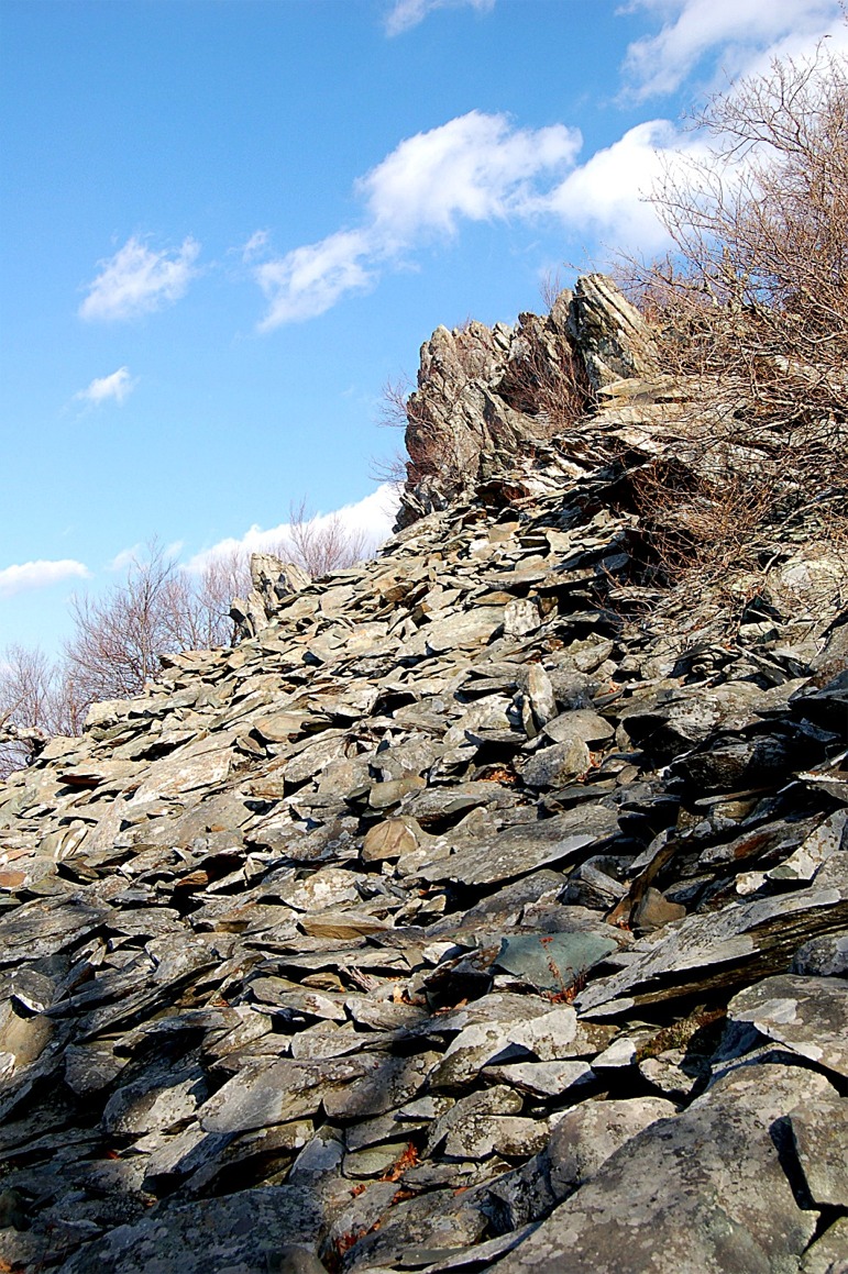
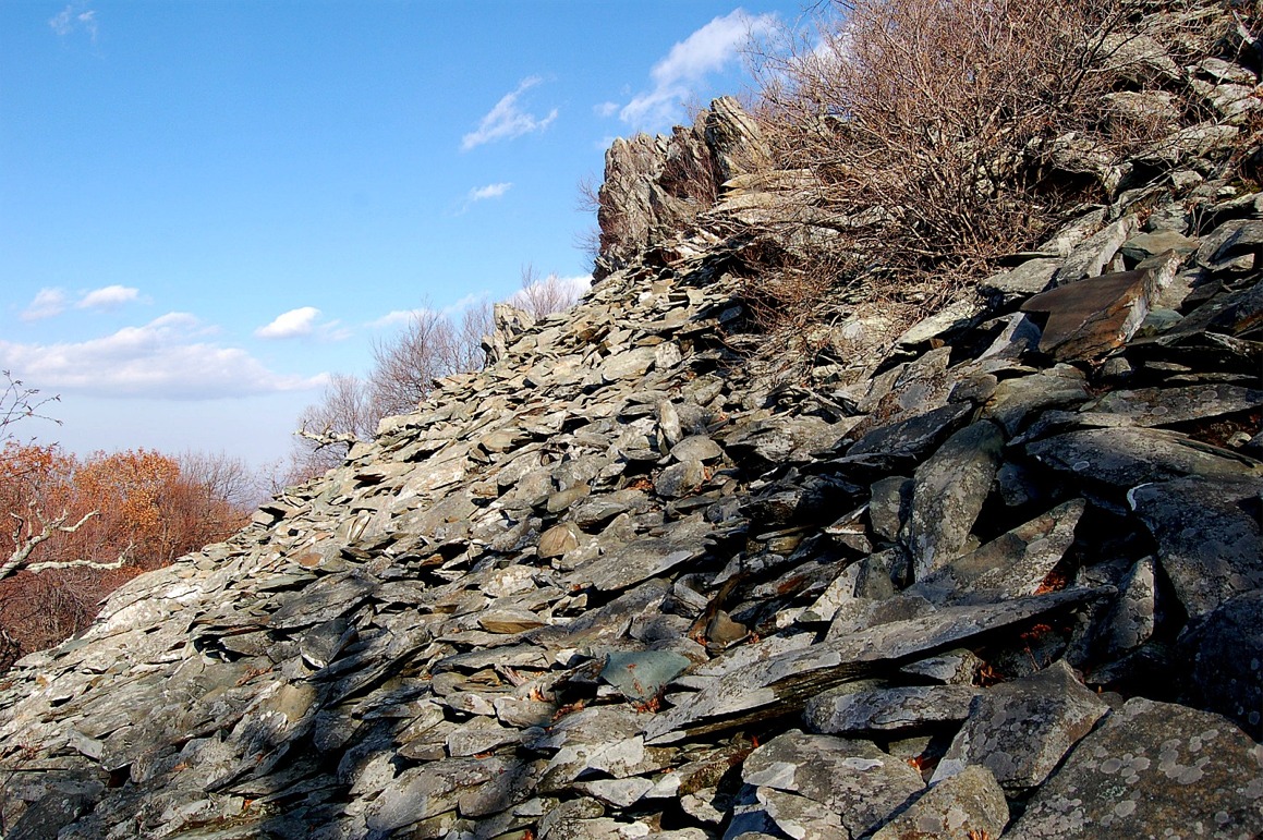
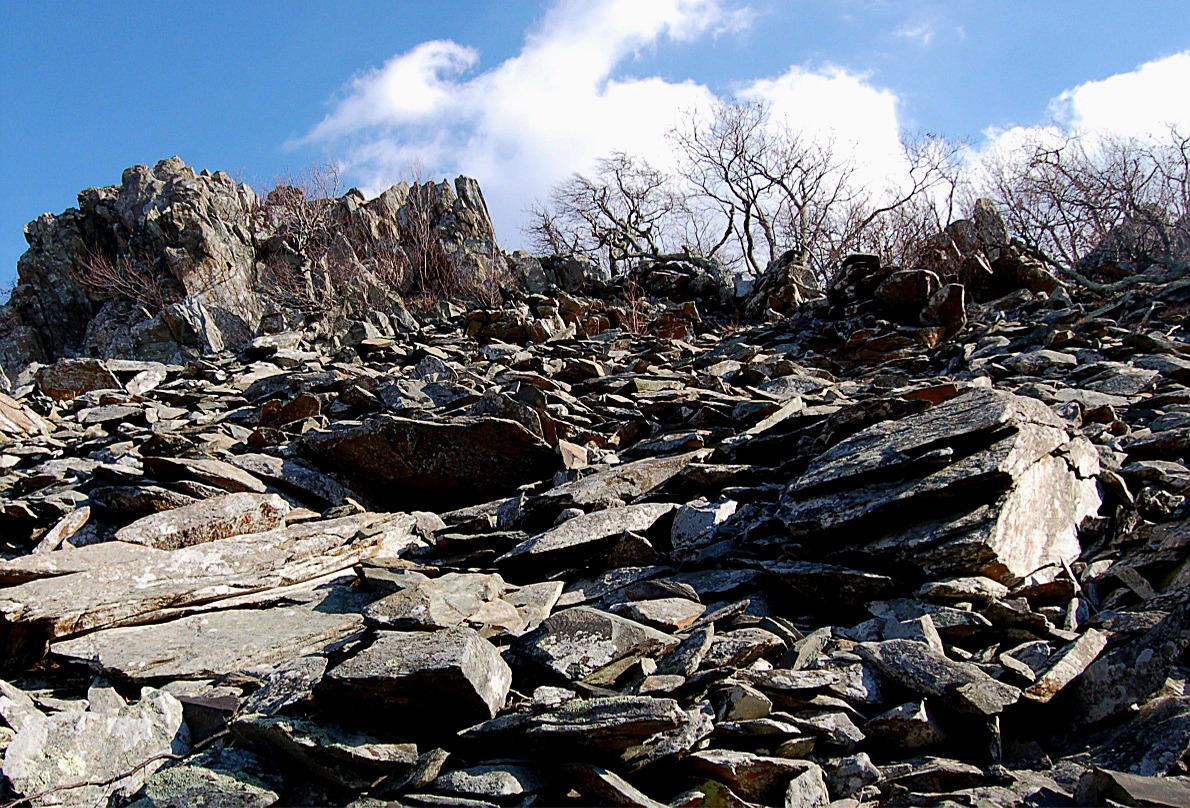
rock weathering, appalachian mountains, blue ridge, shenandoah national park |
rock weathering, appalachian mountains, blue ridge, shenandoah national park |
rock weathering, appalachian mountains, blue ridge, shenandoah national park |
 |
 |
 |
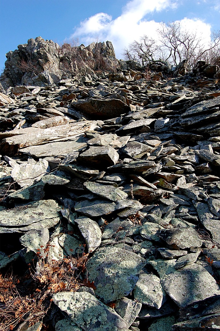
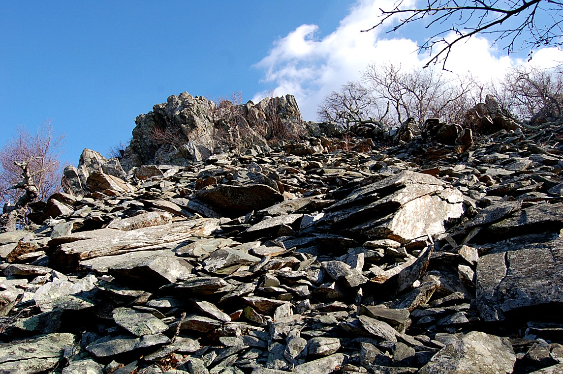
| rock weathering, appalachian mountains, blue ridge, shenandoah national park |
rock weathering, appalachian mountains, blue ridge, shenandoah national park |
rock weathering, appalachian mountains, blue ridge, shenandoah national park |
 |
 |
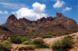 |
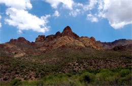
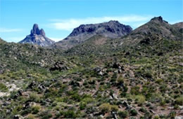
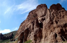
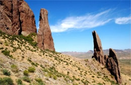
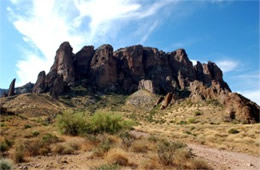
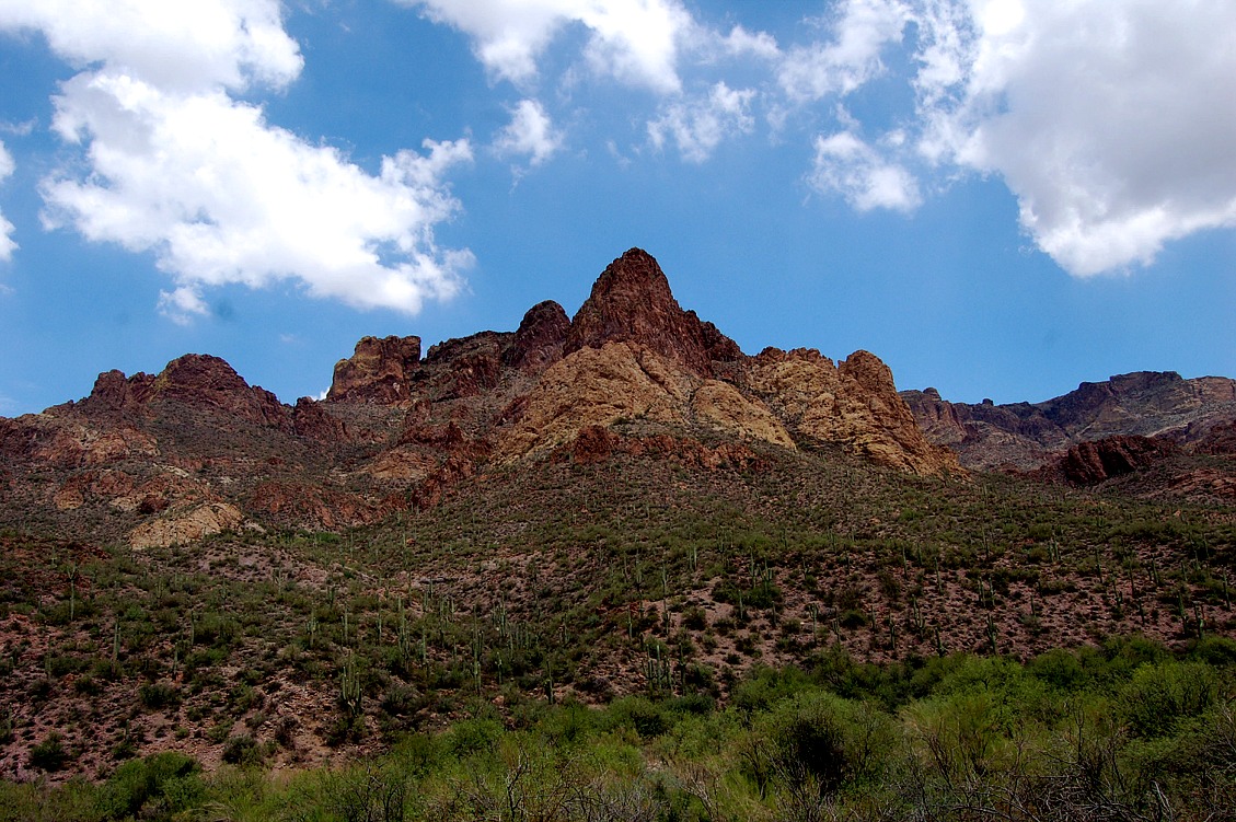
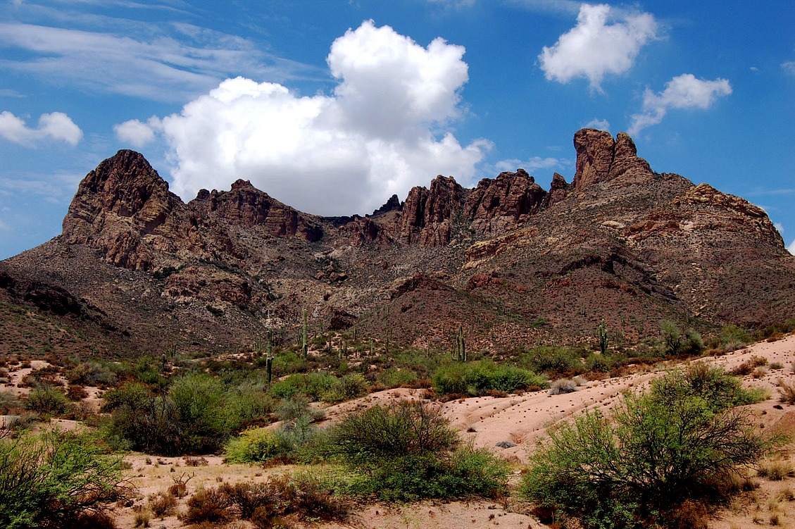
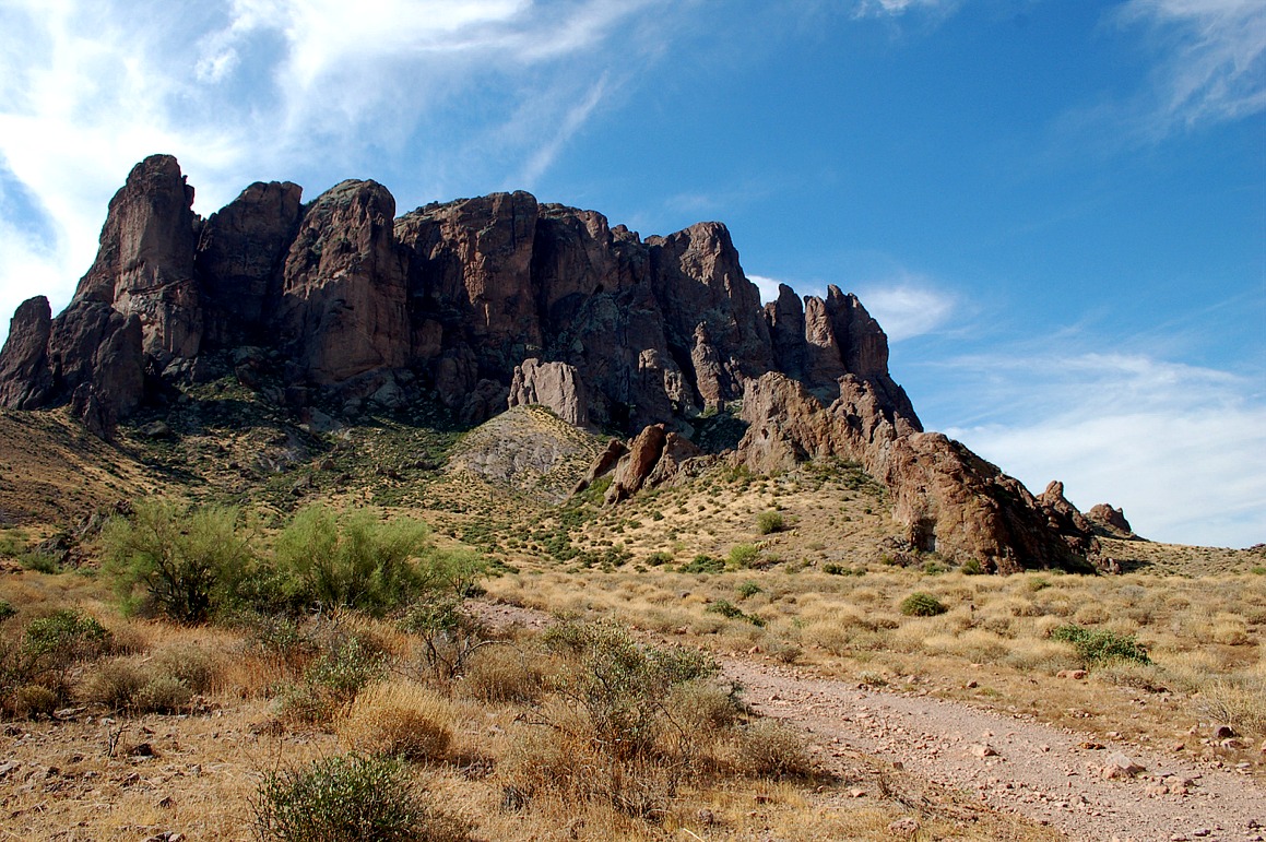
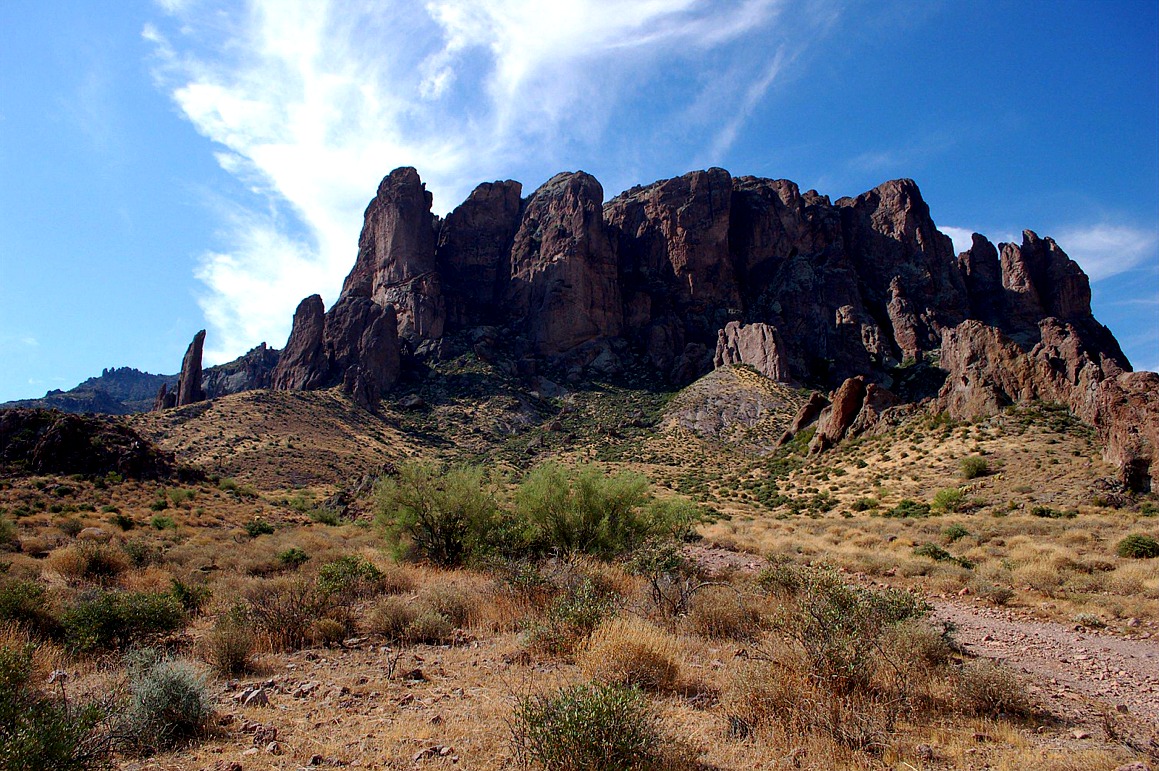
| superstition mountains, arizona, desert plants, volcanic landforms, igneous rock, erosion |
superstition mountains, arizona, desert plants, volcanic landforms, igneous rock, erosion |
superstition mountains, arizona, desert plants, volcanic landforms, igneous rock, erosion |
 |
 |
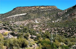 |
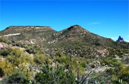
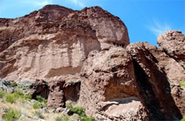
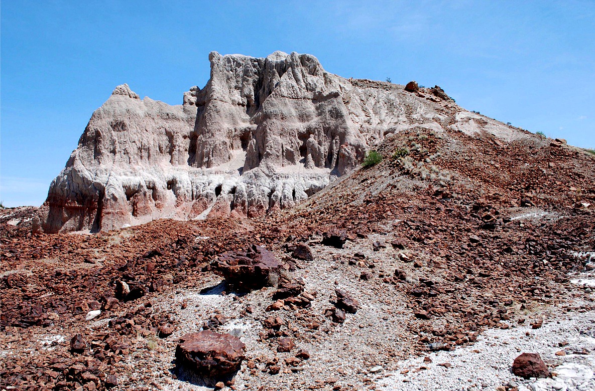
| black mesa, superstition wilderness, tonto national forest, arizona, volcanic landforms, tuff, igneous rock, erosion |
black mesa, superstition wilderness, tonto national forest, arizona, volcanic landforms, tuff, igneous rock, erosion |
black mesa, superstition wilderness, tonto national forest, arizona, volcanic landforms, tuff, igneous rock, erosion |
 |
 |
 |
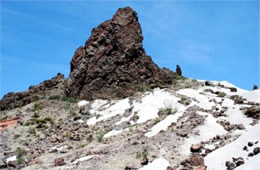
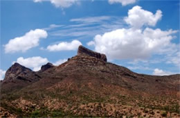
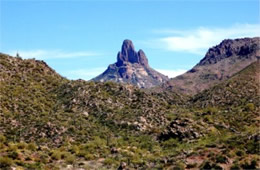
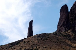
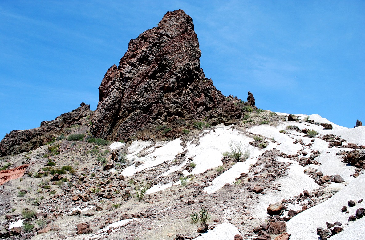
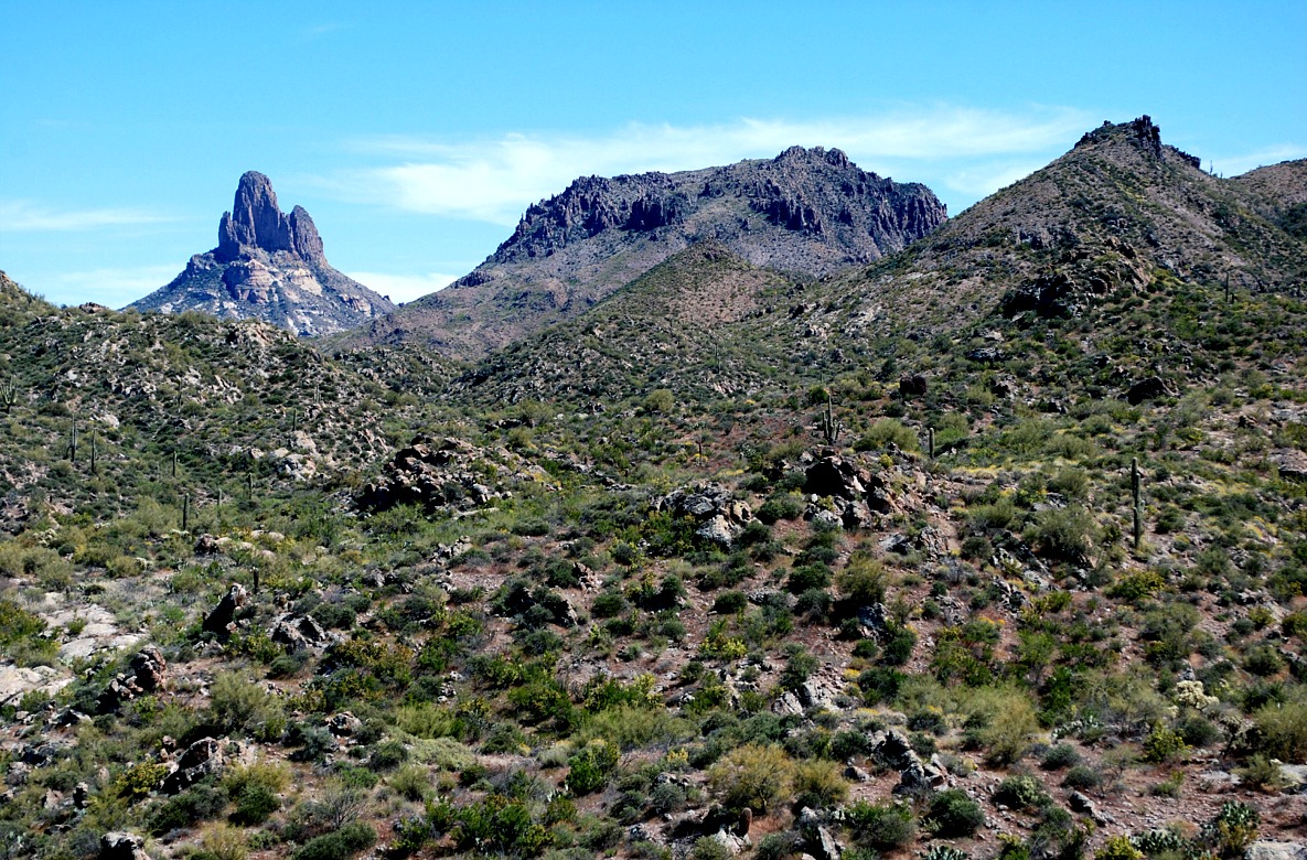
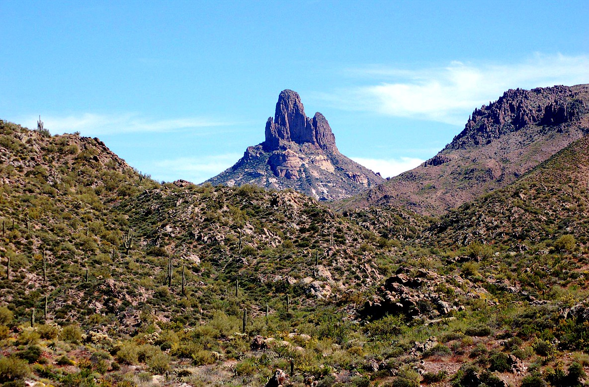
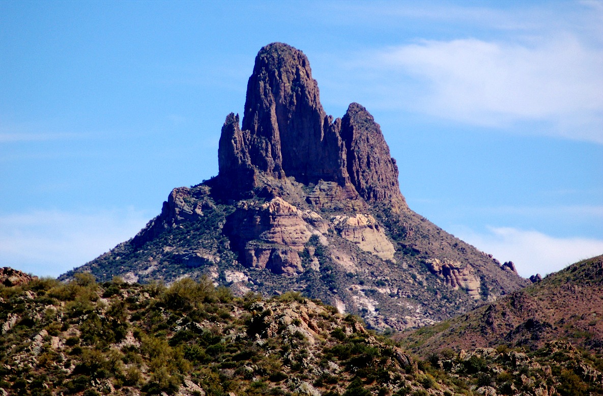
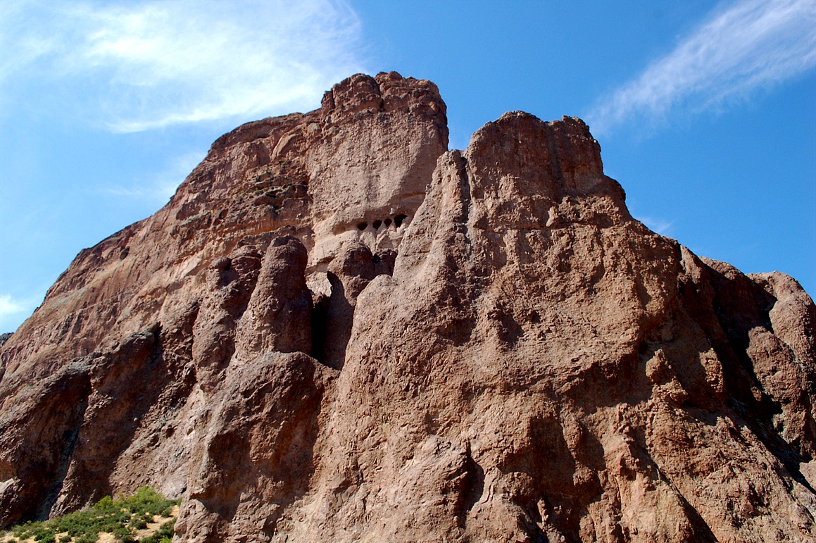
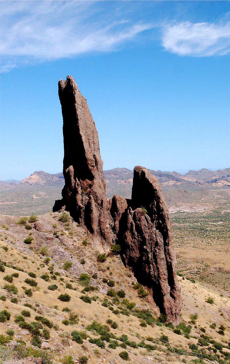
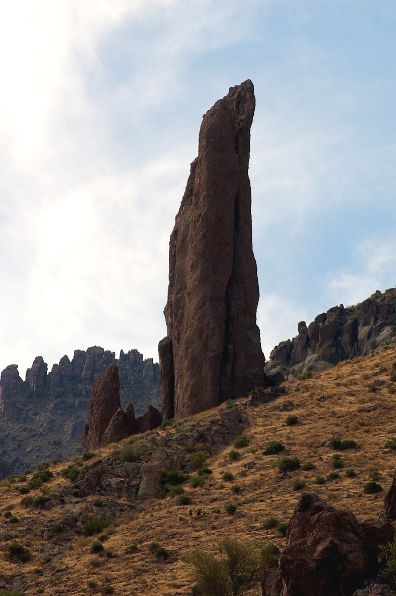
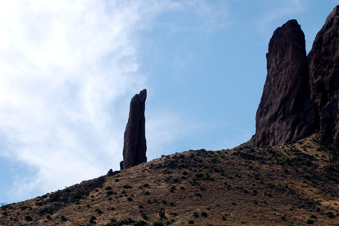
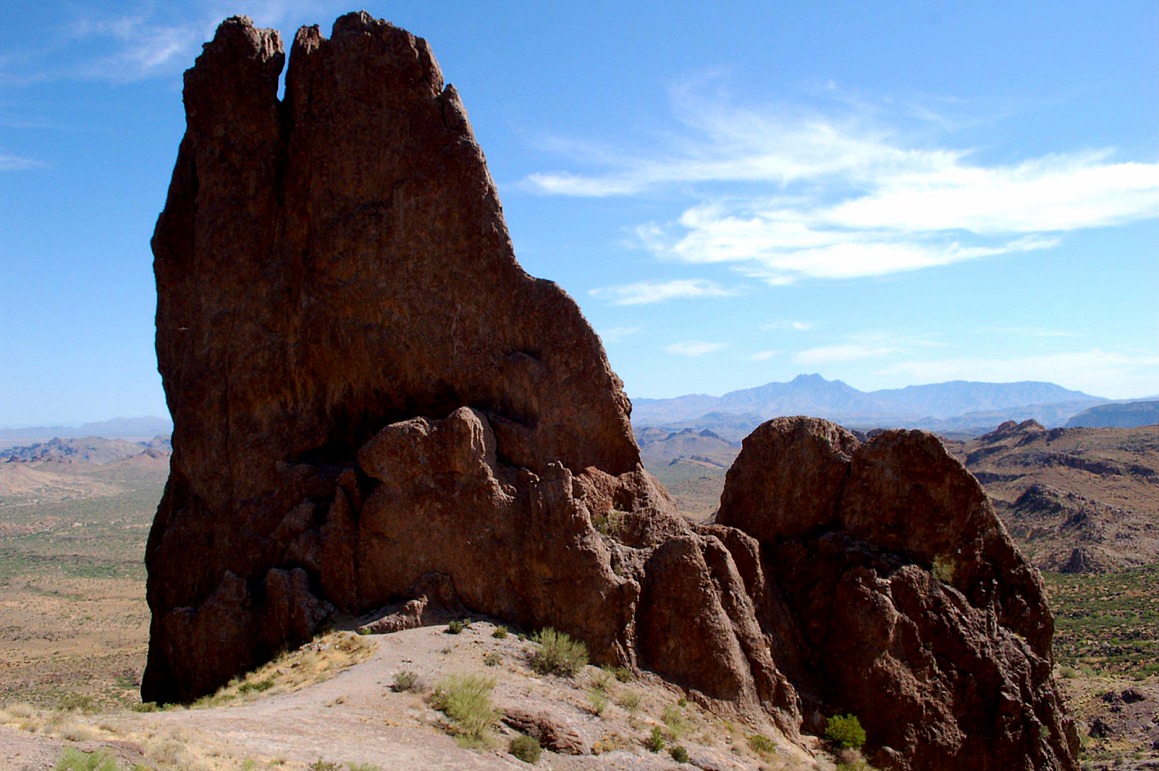
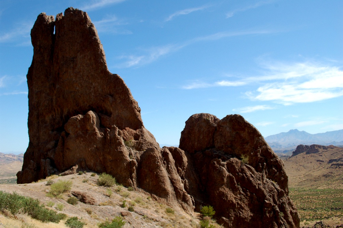
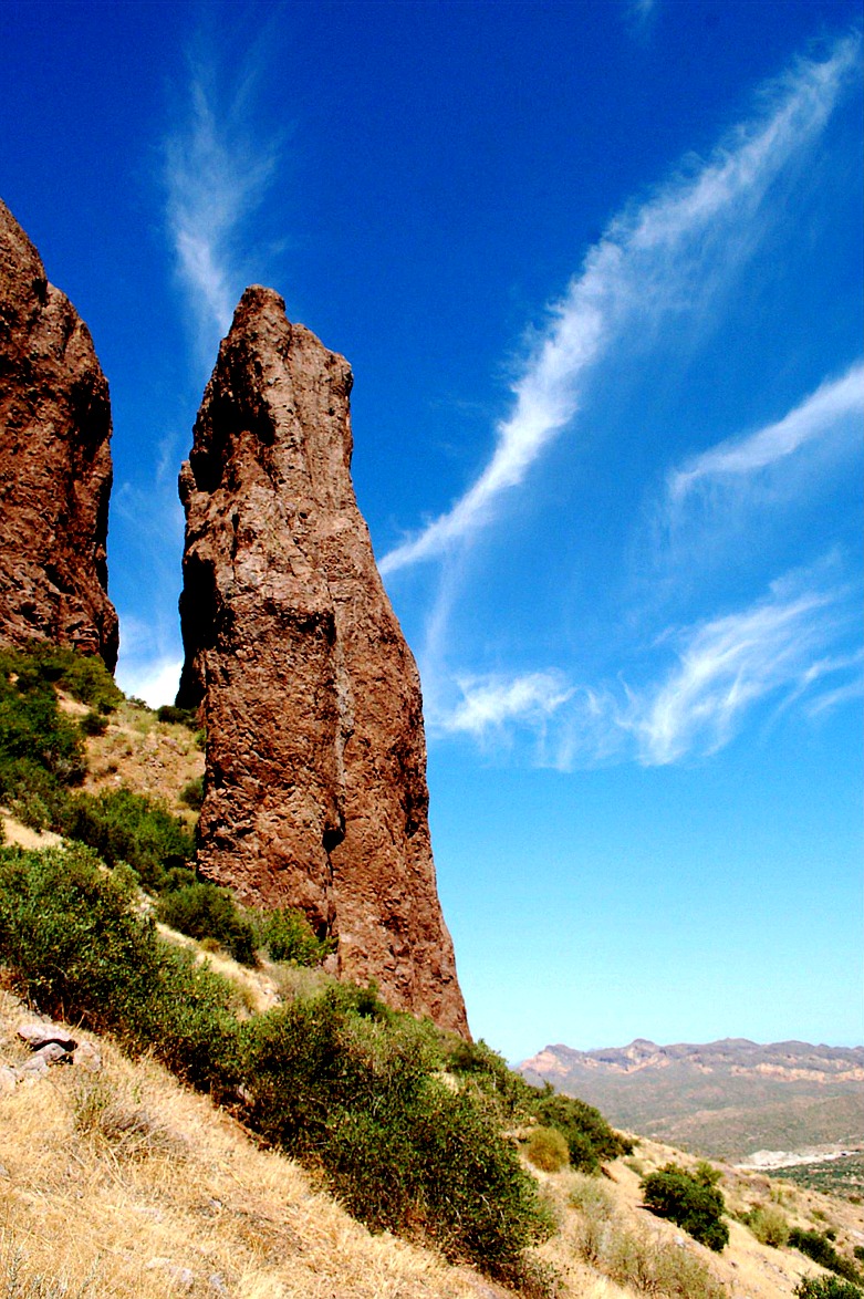
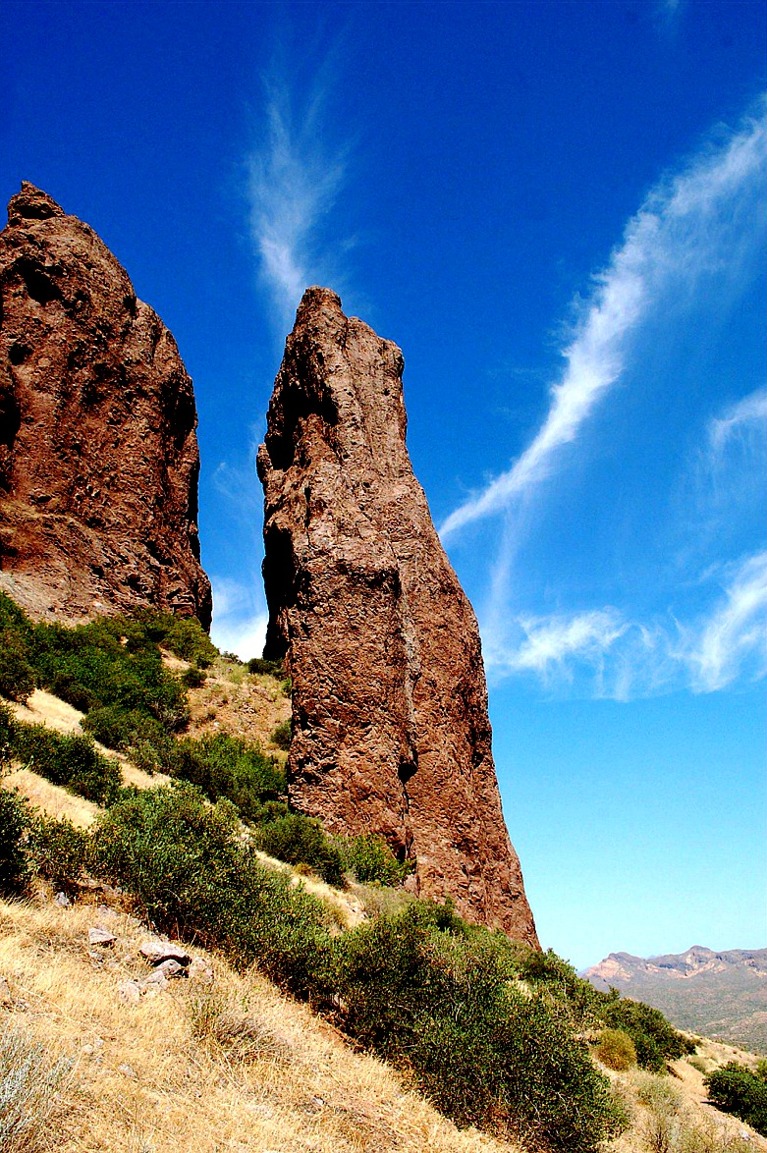
| weaver's needle, superstition wilderness, tonto national forest, arizona, volcanic landforms, tuff, igneous rock, erosion |
weaver's needle, superstition wilderness, tonto national forest, arizona, volcanic landforms, tuff, igneous rock, erosion |
weaver's needle, superstition wilderness, tonto national forest, arizona, volcanic landforms, tuff, igneous rock, erosion |
 |
 |
 |
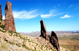
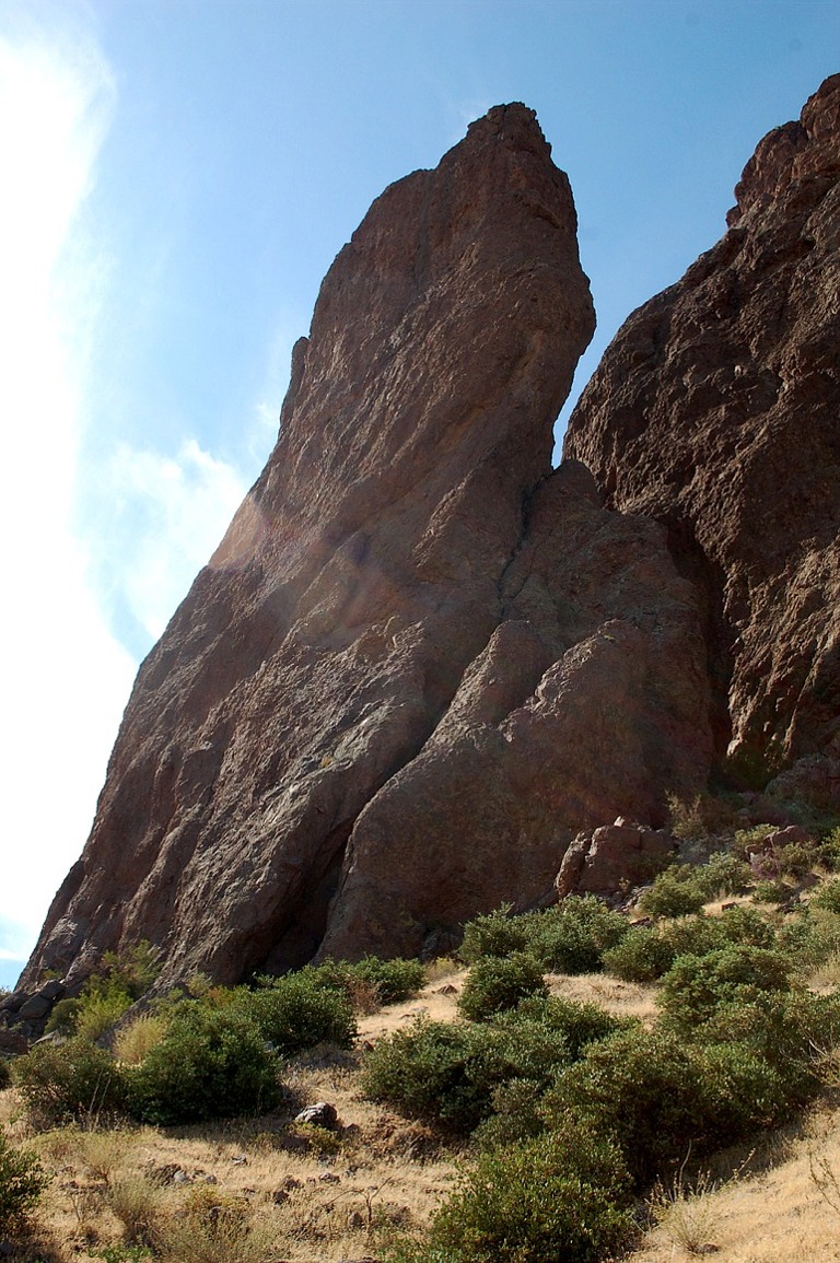
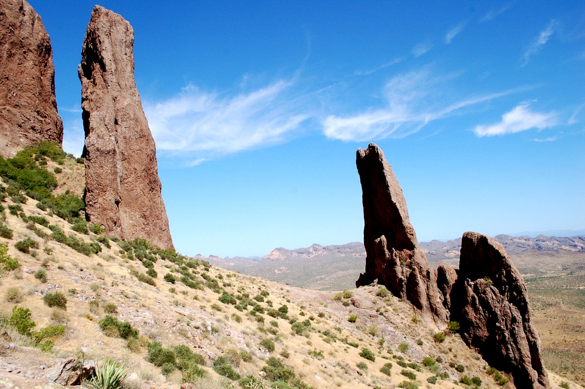
| flat irons, volcanic landforms, igneous rock, erosion, lost dutchman state park, superstition mountains, arizona |
flat irons, volcanic landforms, igneous rock, erosion, lost dutchman state park, superstition mountains, arizona |
flat irons, volcanic landforms, igneous rock, erosion, lost dutchman state park, superstition mountains, arizona |
|
|
|
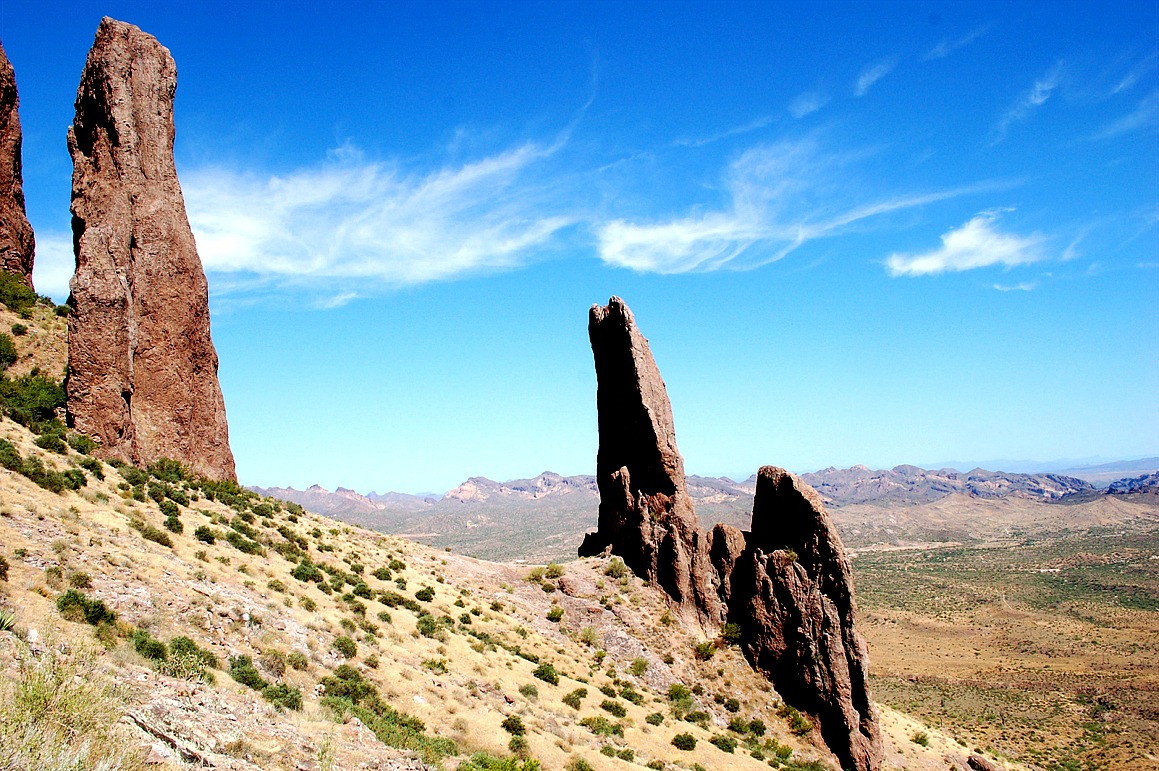
| flat irons, volcanic landforms, igneous rock, erosion, lost dutchman state park, superstition mountains, arizona |
flat irons, hoodoo, volcanic landforms, igneous rock, erosion, lost dutchman state park, superstition mountains, arizona |
flat irons, hoodoo, volcanic landforms, igneous rock, erosion, lost dutchman state park, superstition mountains, arizona |
|
|
|
| praying hands formation, volcanic landforms, igneous rock, erosion, lost dutchman state park, superstition mountains, arizona |
praying hands formation, volcanic landforms, igneous rock, erosion, lost dutchman state park, superstition mountains, arizona |
praying hands formation, volcanic landforms, igneous rock, erosion, lost dutchman state park, superstition mountains, arizona |
 |
 |
 |
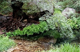
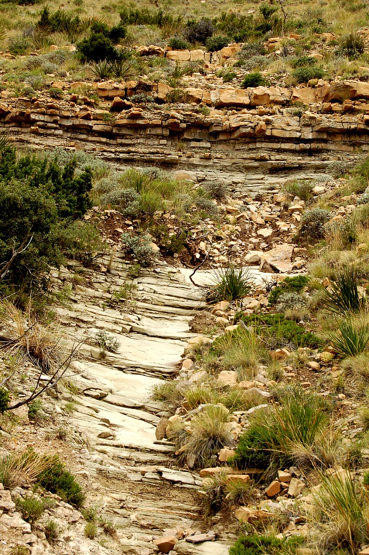
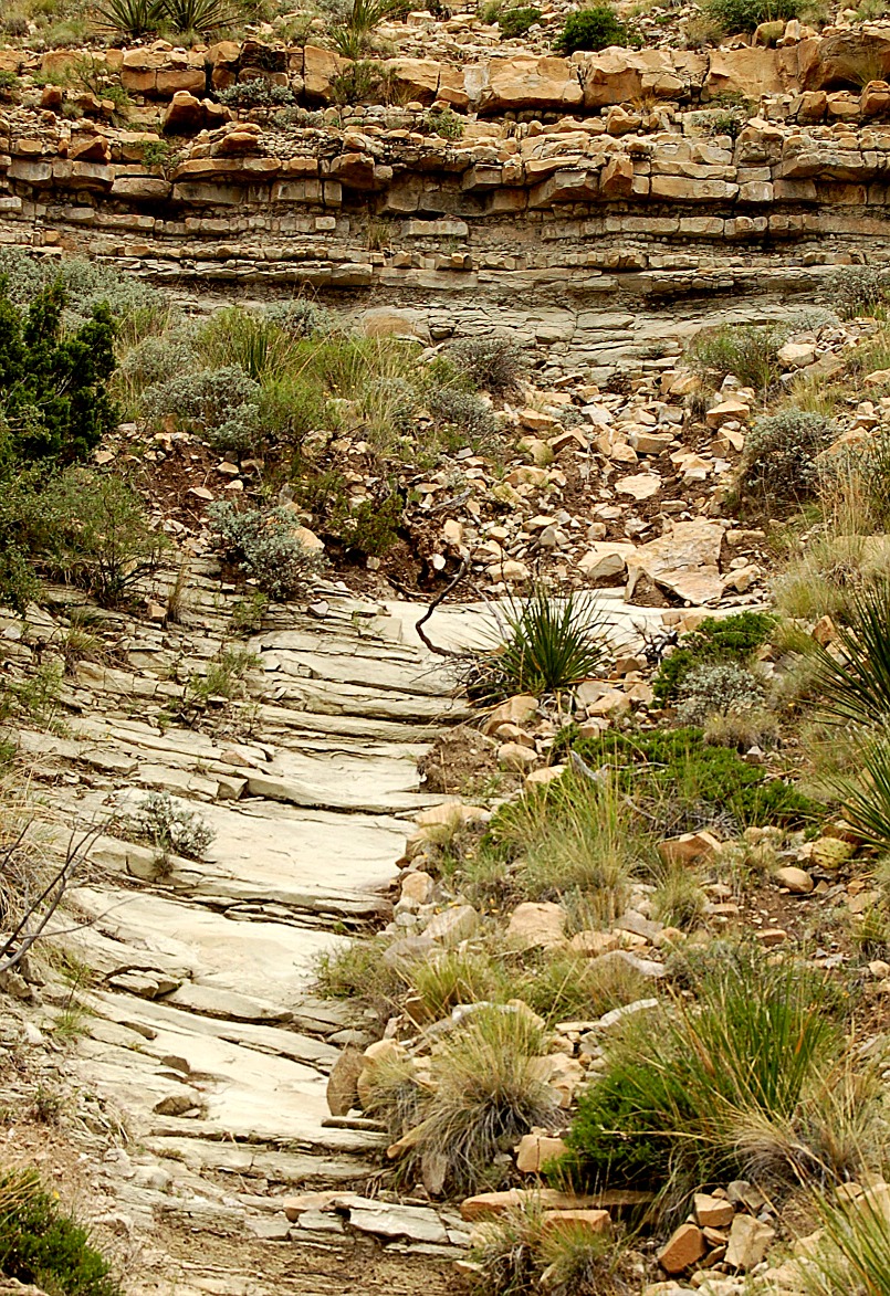
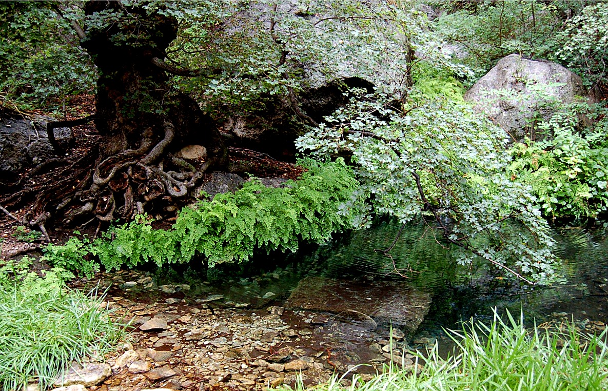
| smith spring, guadalupe mountains, oasis, sandstone spillway, groundwater, ferns |
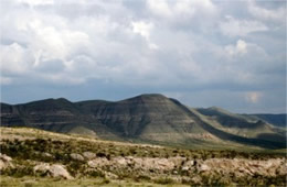
guadalupe mountains, texas, el capitan, capitan reef, permian limestone fossil reef |
guadalupe mountains, texas, desert and scrub plants, permian limestone fossil reef |
 |
 |
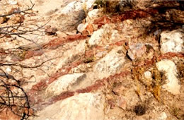 |
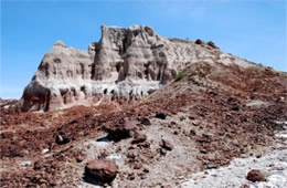
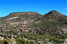
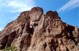
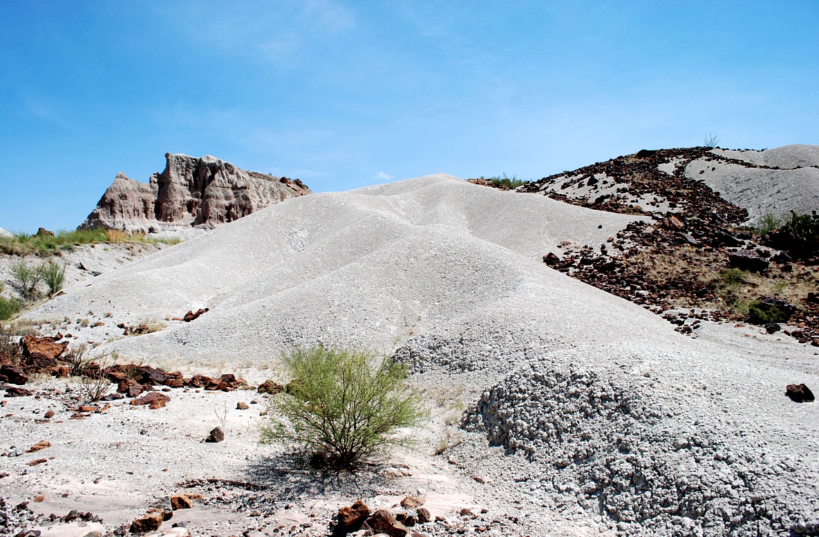
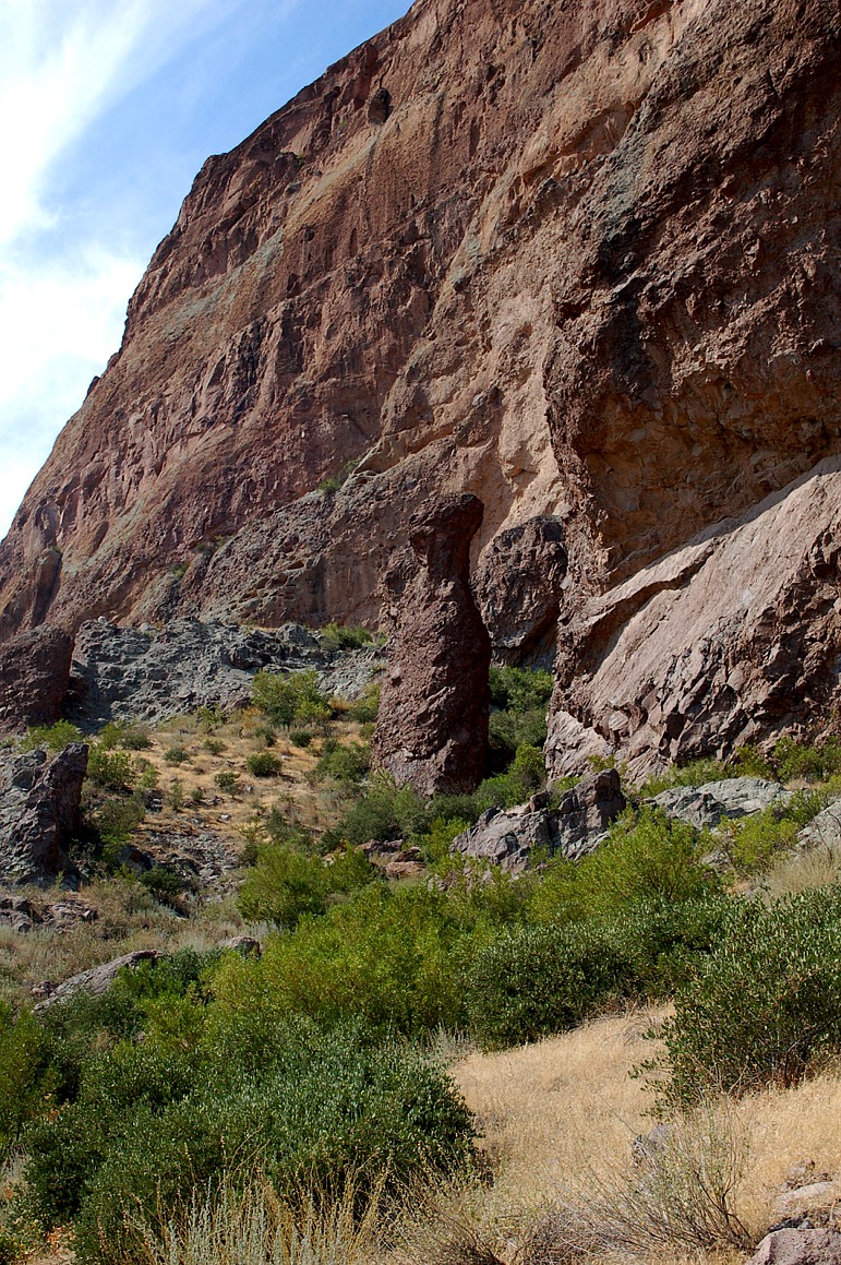
| dark red rock layer, superstition wilderness, tonto national forest, arizona |
dark red rock layer, superstition wilderness, tonto national forest, arizona |
dark red rock layer, superstition wilderness, tonto national forest, arizona |
 |
 |
 |
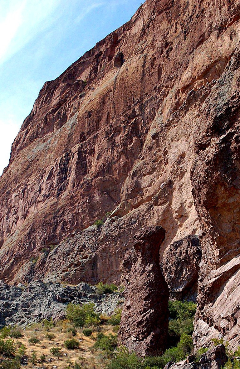
| flat irons, volcanic landforms, igneous rock, erosion, lost dutchman state park, superstition mountains, arizona |
flat irons, volcanic landforms, igneous rock, erosion, lost dutchman state park, superstition mountains, arizona |
flat irons, volcanic landforms, igneous rock, erosion, lost dutchman state park, superstition mountains, arizona |
|
|
|
| flat irons, volcanic landforms, igneous rock, erosion, lost dutchman state park, superstition mountains, arizona |
flat irons, volcanic landforms, igneous rock, erosion, lost dutchman state park, superstition mountains, arizona |
flat irons, volcanic landforms, igneous rock, erosion, lost dutchman state park, superstition mountains, arizona |
| Waterfalls |
|
|
 |
 |
 |
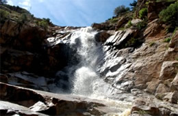
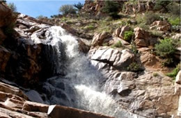
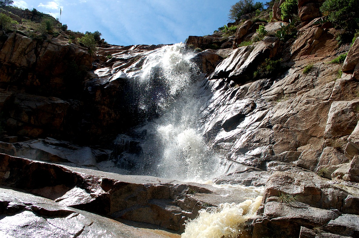
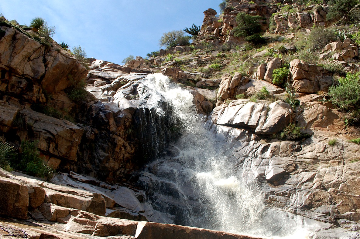
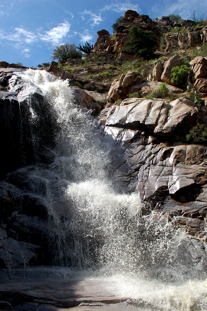
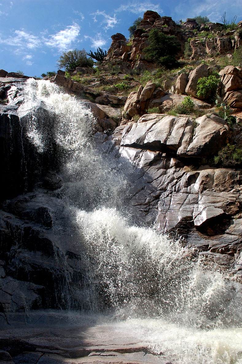
| w canyon falls, santa catalina mountains, coronado national forest, arizona |
sabino canyon falls, santa catalina mountains, coronado national forest, arizona |
sabino canyon falls, santa catalina mountains, coronado national forest, arizona |
 |
 |
 |
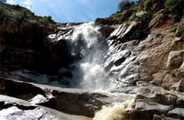
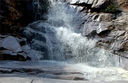
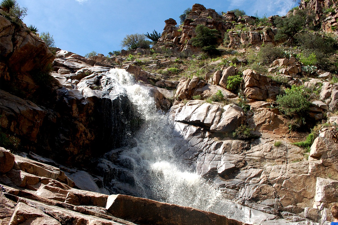
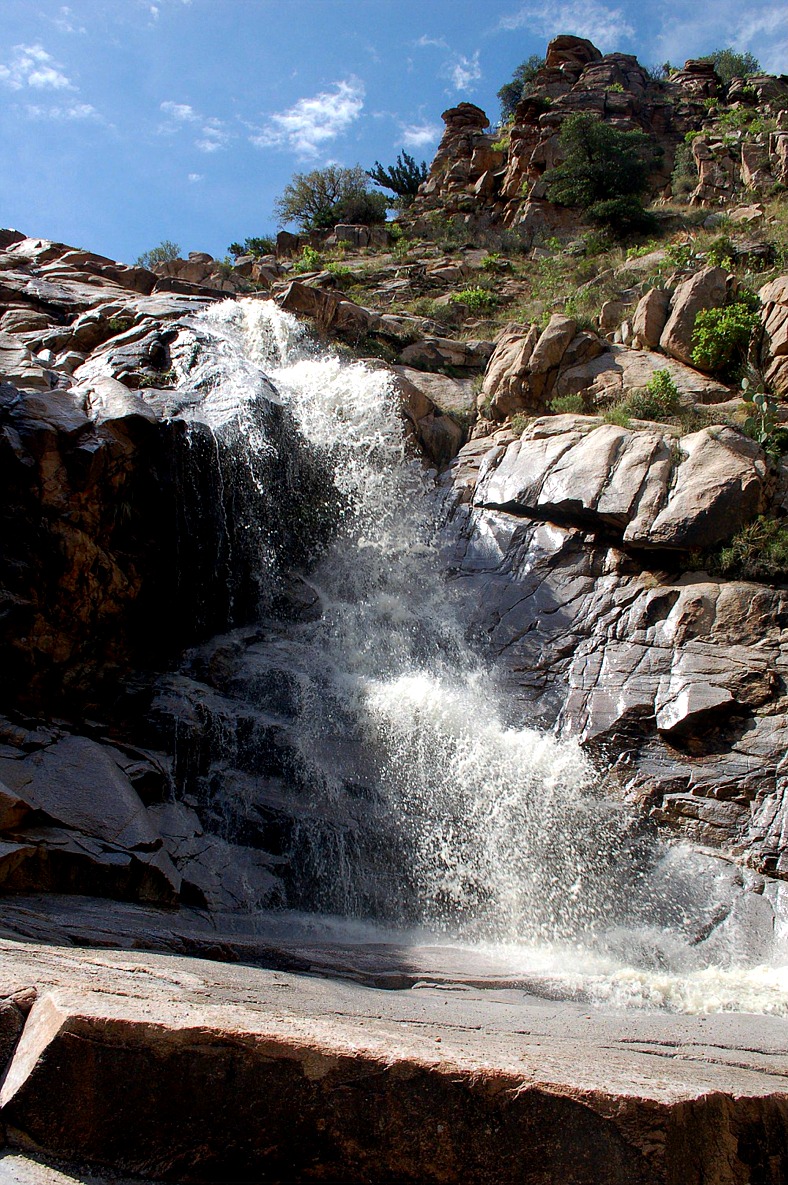
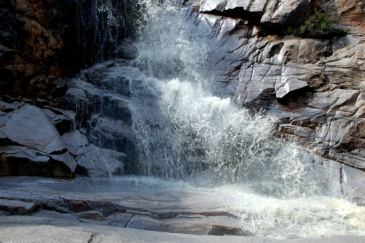
| sabino canyon falls, santa catalina mountains, coronado national forest, arizona |
sabino canyon falls, santa catalina mountains, coronado national forest, arizona |
sabino canyon falls, santa catalina mountains, coronado national forest, arizona |
|
|
|
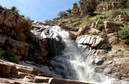
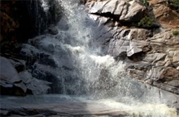
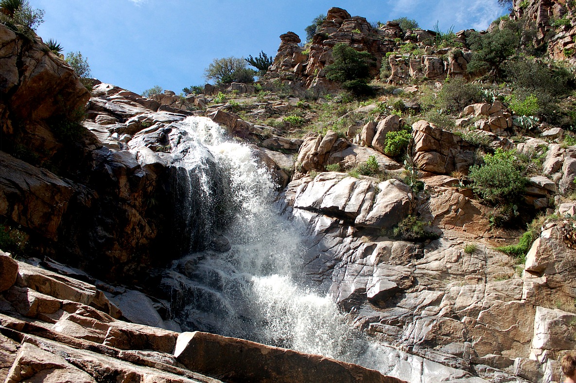
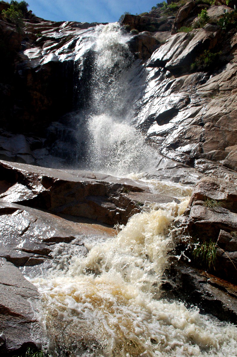
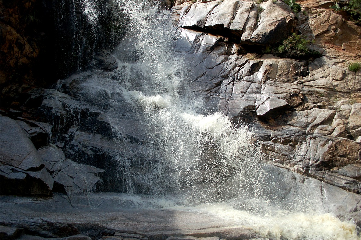
sabino canyon falls, santa catalina mountains, coronado national forest, arizona |
sabino canyon falls, santa catalina mountains, coronado national forest, arizona |
sabino canyon falls, santa catalina mountains, coronado national forest, arizona |
|
|
|
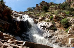
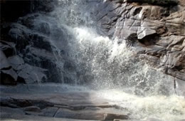
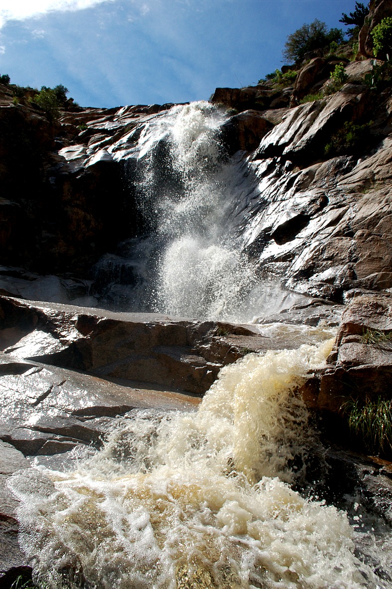
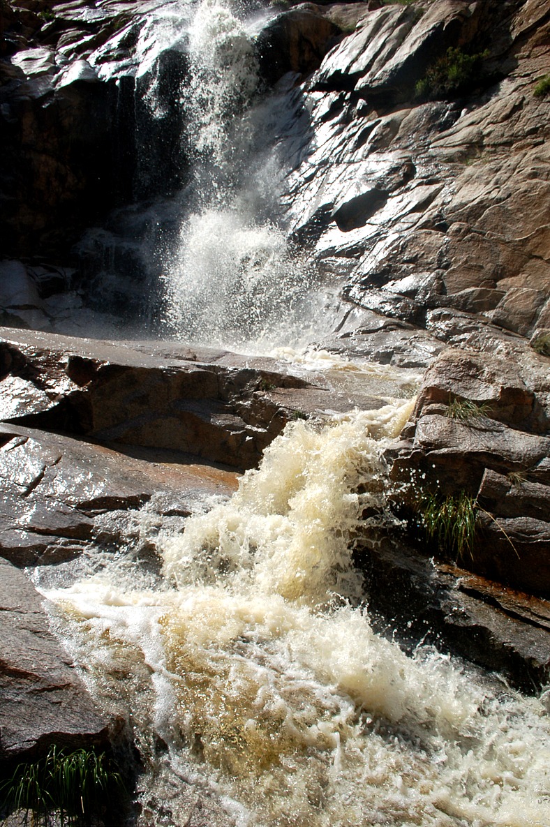
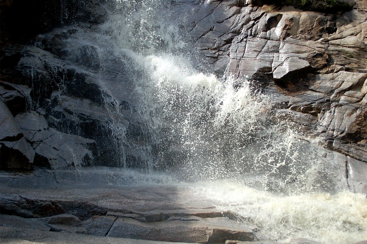
sabino canyon falls, santa catalina mountains, coronado national forest, arizona |
sabino canyon falls, santa catalina mountains, coronado national forest, arizona |
sabino canyon falls, santa catalina mountains, coronado national forest, arizona |
 |
 |
 |
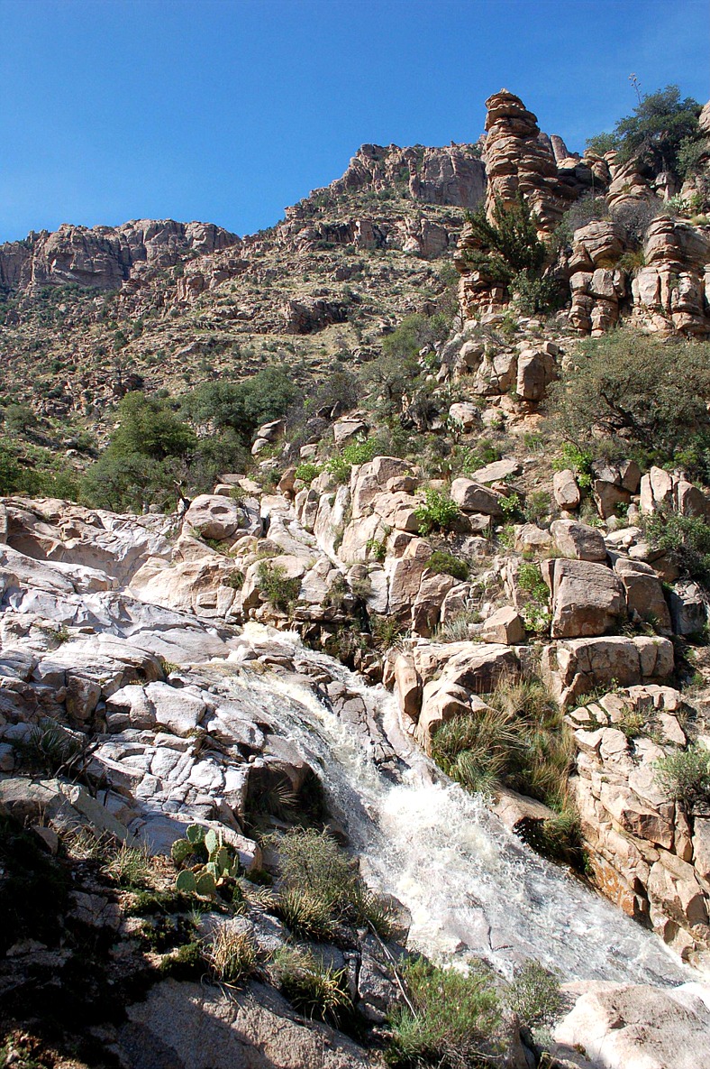
| sabino canyon falls, santa catalina mountains, coronado national forest, arizona |
sabino canyon falls, santa catalina mountains, coronado national forest, arizona |
sabino canyon falls, santa catalina mountains, coronado national forest, arizona |
|
|
|
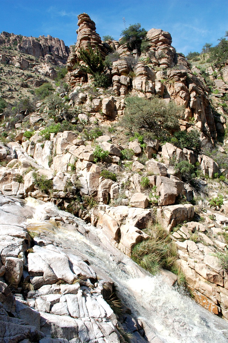
| sabino canyon falls and hoodoo rock formations, santa catalina mountains, coronado national forest, arizona |
sabino canyon falls and hoodoo rock formations, santa catalina mountains, coronado national forest, arizona |
sabino canyon falls and hoodoo rock formations, santa catalina mountains, coronado national forest, arizona |
|
|
|
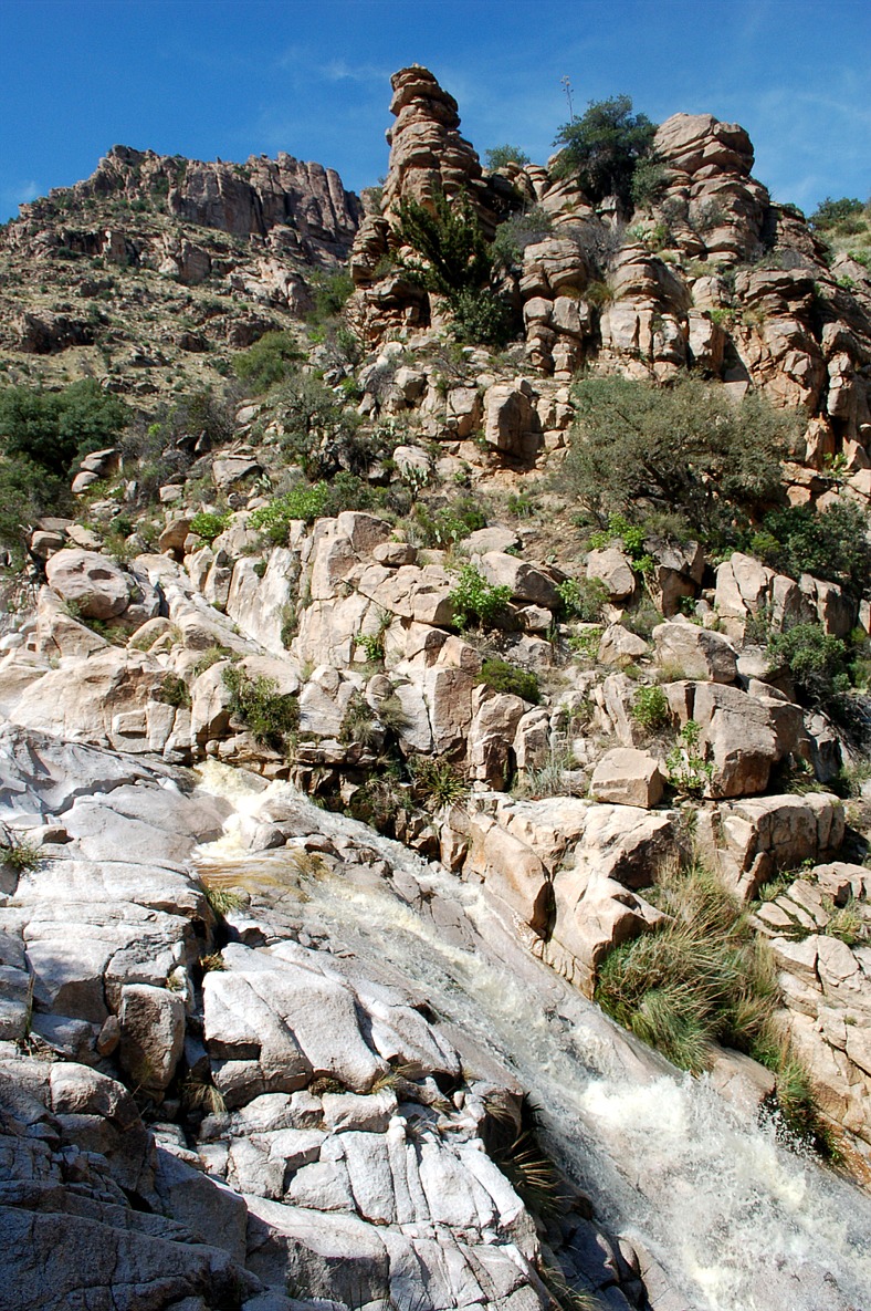
| sabino canyon falls and hoodoo rock formations, santa catalina mountains, coronado national forest, arizona |
sabino canyon falls and hoodoo rock formations, santa catalina mountains, coronado national forest, arizona |
sabino canyon falls and hoodoo rock formations, santa catalina mountains, coronado national forest, arizona |
 |
 |
 |
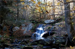
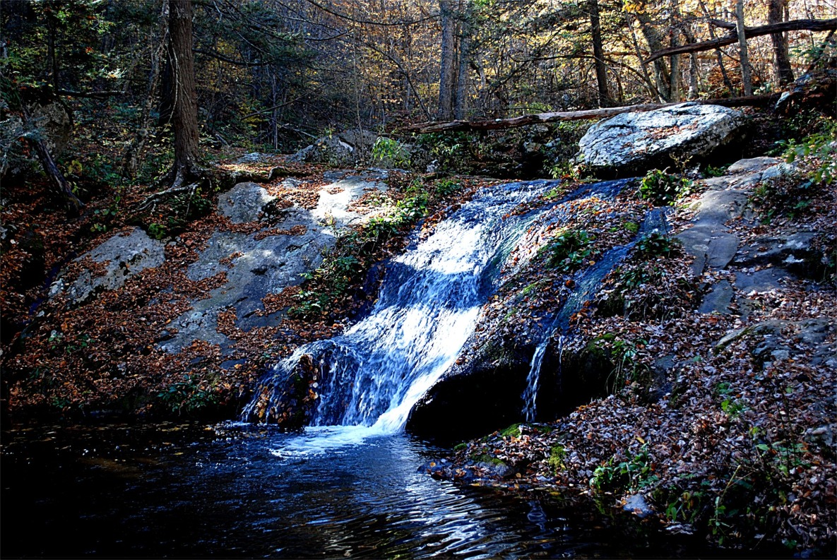
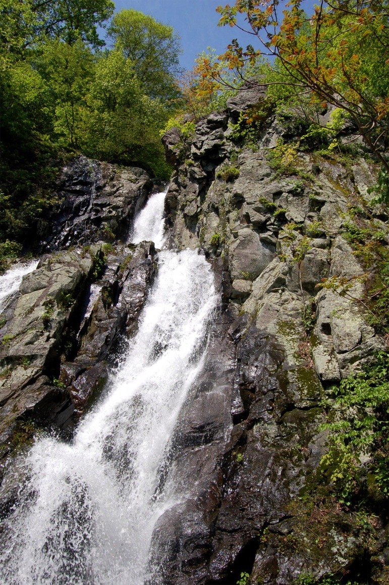
| stream waterfall, appalachian mountains, shenandoah national park, virginia |
stream waterfall, appalachian mountains, shenandoah national park, virginia |
stream waterfall, appalachian mountains, shenandoah national park, virginia |
|
|
|
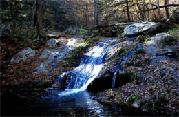
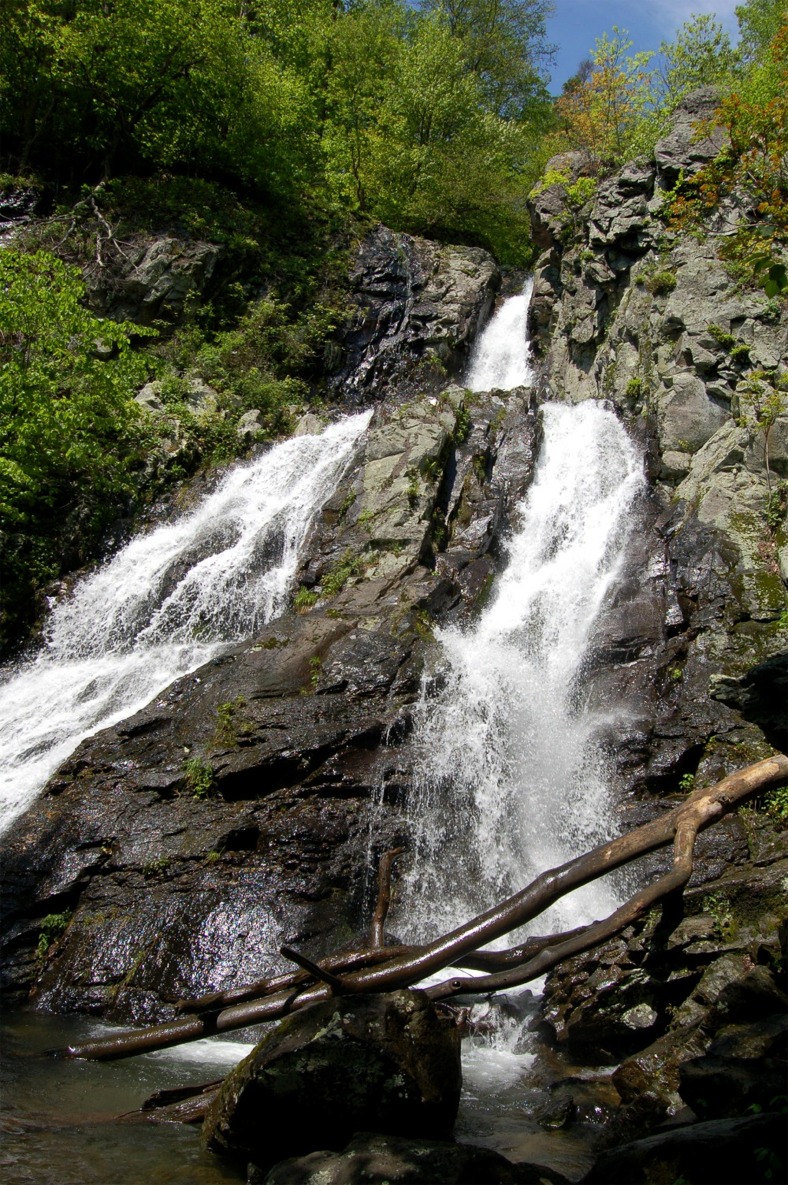
south river falls, waterfall, appalachian mountains, shenandoah national park, virginia |
south river falls, waterfall, appalachian mountains, shenandoah national park, virginia |
south river falls, waterfall, appalachian mountains, shenandoah national park, virginia |
|
|
|
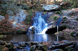
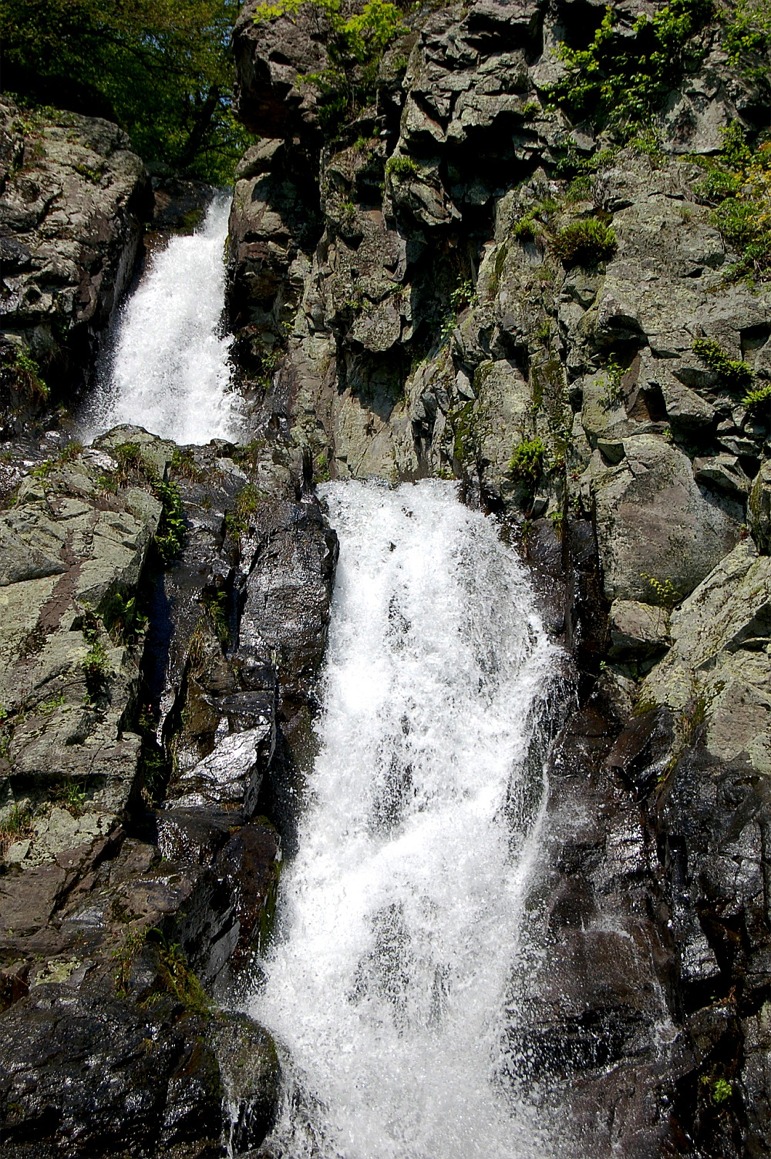
waterfall, appalachian mountains, shenandoah national park, virginia |
|
|


